Flying Over Italy 3D Topographic Map Animation
By jamartevgeniyOne great value subscription from $16.50/month
- Unlimited downloads of 27+ million creative assets
- AI Tools: video, image and more
- Lifetime commercial license
- Easy cancellation
Already have an account? Sign in
Attributes
- Length
- 0:08
- Resolution
- 1920 x 1080
- File Size
- 103 MB
- Frame Rate
- 30 fps
- Alpha Channel
- No
- Looped
- No
- Video Encoding
- ProRes
- Orientation
- Horizontal
- Commercial License
- Further Information
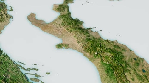
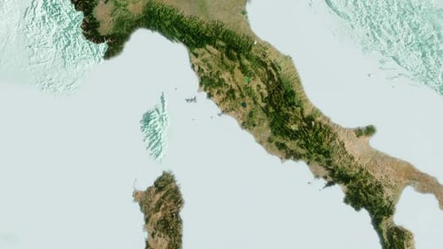
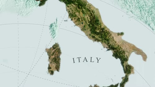
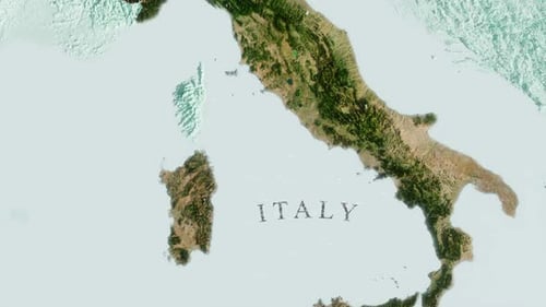
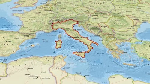
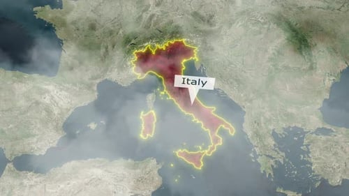
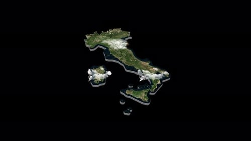
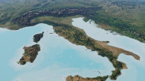
Description
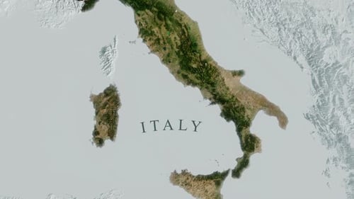
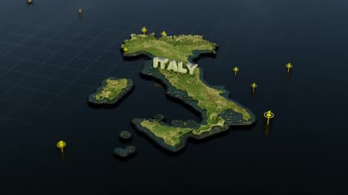
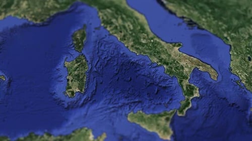
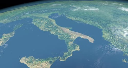
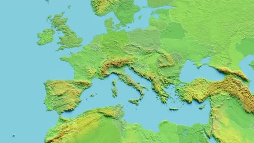
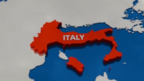
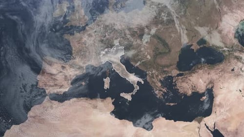
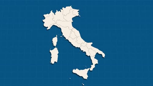
This animated clip showcases a realistic 3D topographic map of Italy and parts of surrounding Europe, including its mountainous terrain and surrounding seas. The camera performs a slow, smooth zoom-out, revealing the natural contours of the landscape and the iconic 'boot' shape of the peninsula. Subtle camera rotation adds a dynamic yet steady perspective. This detailed geographical visual effect is ideal for travel documentaries, educational content about European geography, or projects requiring a high-quality, realistic representation of the Italian region and its natural environment.