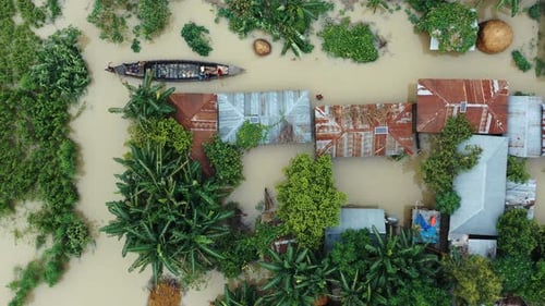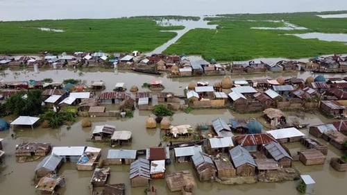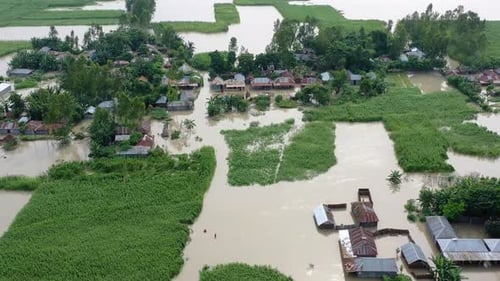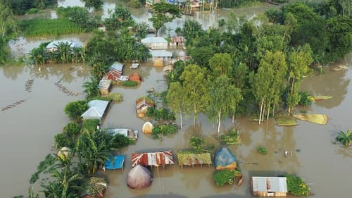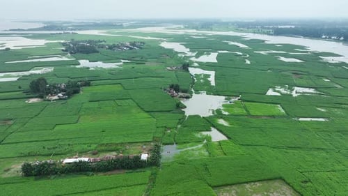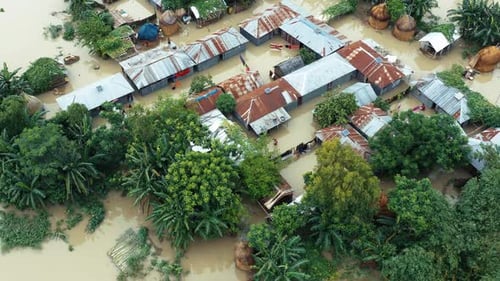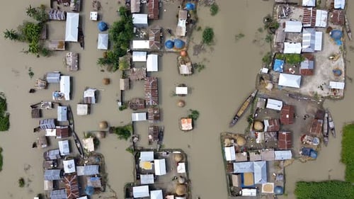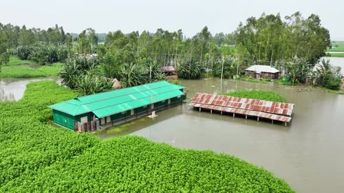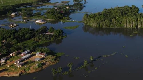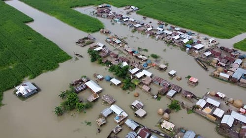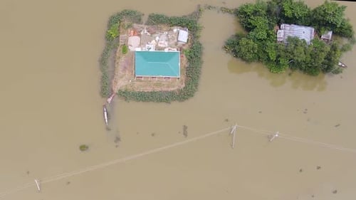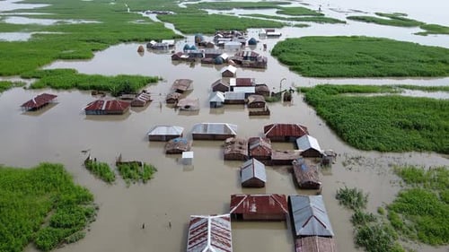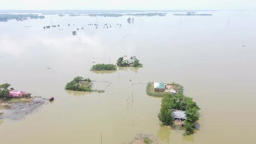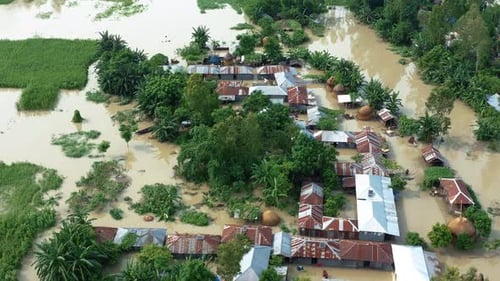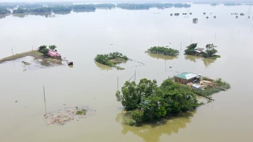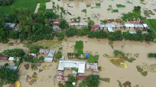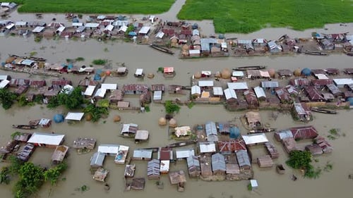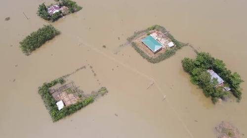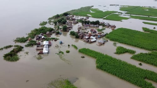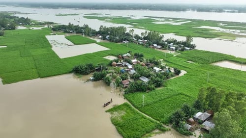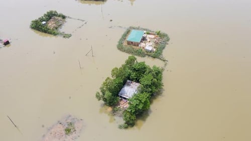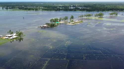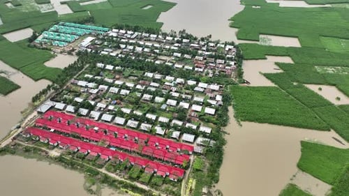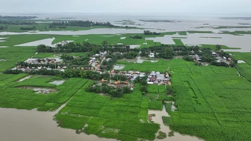
Aerial view of flooded village, Bogura, Bangladesh.
By AmazingAerialOne great value subscription from $16.50/month
- Unlimited downloads of 27+ million creative assets
- AI Tools: video, image and more
- Lifetime commercial license
- Easy cancellation
Already have an account? Sign in
Attributes
- Length
- 0:30
- Resolution
- 4096 x 2304
- File Size
- 698 MB
- Frame Rate
- 29.97 fps
- Alpha Channel
- No
- Looped
- No
- Video Encoding
- H.264
- Orientation
- Horizontal
- Commercial License
- Further Information
Description
This aerial footage showcases a verdant rural village dramatically impacted by severe flooding. Homes are partially submerged and surrounded by vast expanses of waterlogged farmland. Green fields create a stark contrast with the floodwaters, highlighting the scale and impact of the natural disaster. The birds eye perspective and smooth aerial movement provide a comprehensive view of the landscape and village layout. This footage could be used to illustrate climate change effects, natural disaster reporting, or rural community resilience and recovery efforts.