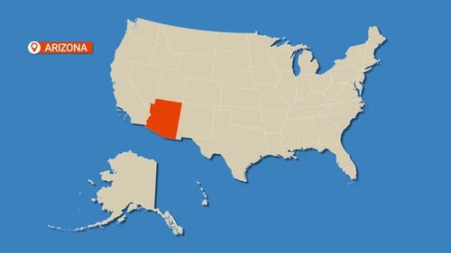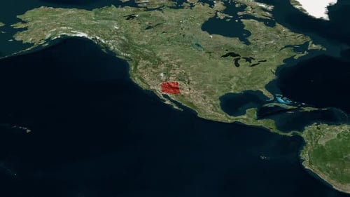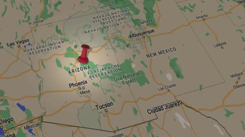
United States Map Highlighting Arizona and Major Cities
By candy_animationOne great value subscription from $16.50/month
- Unlimited downloads of 27+ million creative assets
- AI Tools: video, image and more
- Lifetime commercial license
- Easy cancellation
- Length
- 0:22
- Resolution
- 3840 x 2160
- File Size
- 131 MB
- Frame Rate
- 30 fps
- Alpha Channel
- No
- Looped
- No
- Video Encoding
- H.264
- Orientation
- Horizontal
- Commercial License
- Further Information
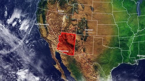
Description
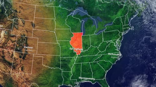
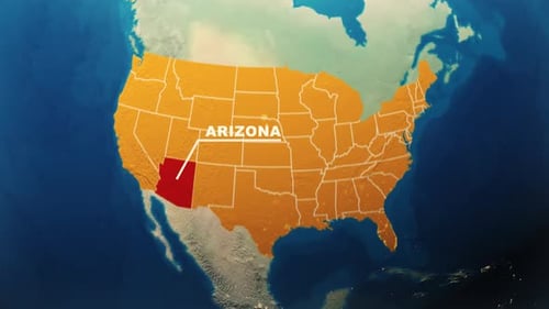
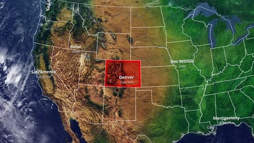
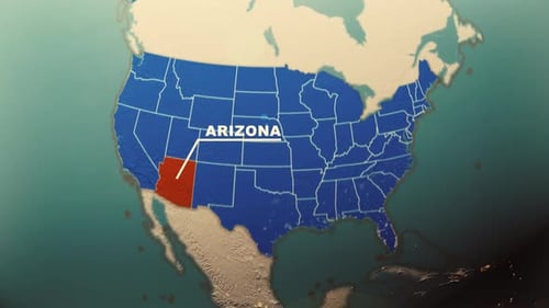
This animated map sequence begins with a detailed satellite view of the United States, presenting its diverse topography. As the camera smoothly zooms in, internal state borders subtly emerge across the nation. The state of Arizona is then prominently highlighted in a distinct red color, drawing attention to its geographical presence. Simultaneously, key cities within and around the region, such as Phoenix, Sacramento, Boise, and Denver, are clearly labeled with their respective states, offering precise geographical context. This clean and informative animation is ideal for documentaries, news segments, corporate presentations, or any project requiring a clear and engaging visual representation of US geography and specific regional focus.