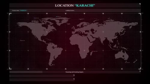
Global Map Zoom and Country Location Highlight Animation
By mimi_ragabOne great value subscription from $16.50/month
- Unlimited downloads of 27+ million creative assets
- AI Tools: video, image and more
- Lifetime commercial license
- Easy cancellation
Already have an account? Sign in
Attributes
- Length
- 0:15
- Resolution
- 3840 x 2160
- File Size
- 146 MB
- Frame Rate
- 30 fps
- Alpha Channel
- No
- Looped
- No
- Video Encoding
- H.264
- Orientation
- Horizontal
- Commercial License
- Further Information
Description
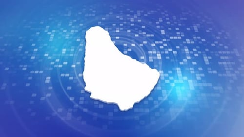
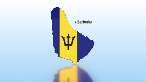
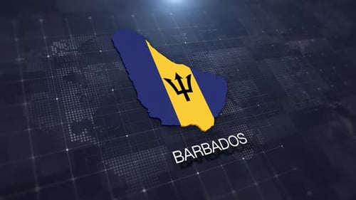
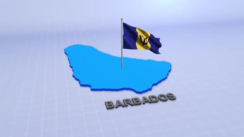
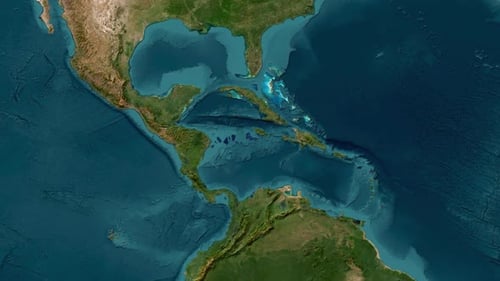
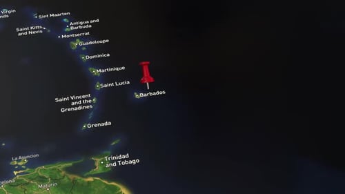
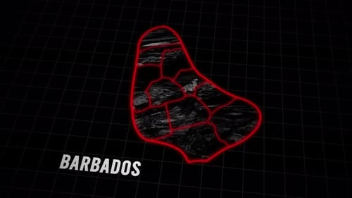
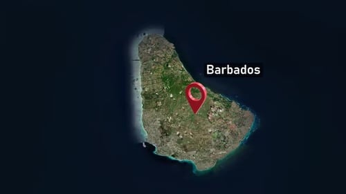
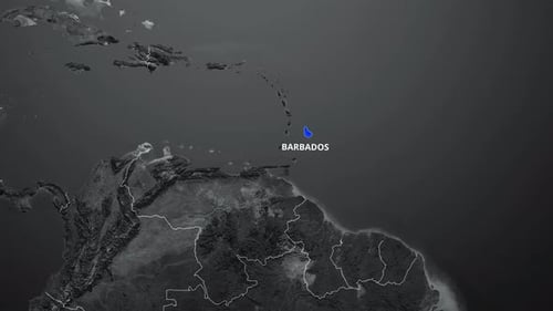
This animated clip presents a detailed global map, initially focusing on a wider geographical area before smoothly zooming into a specific country. The landmasses feature a realistic, dark grey topographical texture, contrasted with white outlines for country borders and a lighter grey for the ocean. As the camera fluidly approaches its target, the selected country, Barbados, is illuminated in a distinct blue color, accompanied by a clean, white text label for identification. This modern and informative animation is perfect for enhancing presentations, news reports, travel documentaries, or any project requiring clear geographical illustration and location emphasis.