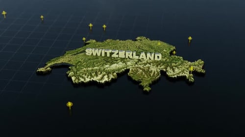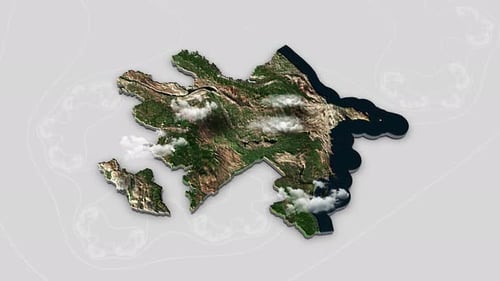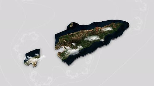
Animated Global Zoom to Bhutan Map Outline
By RevLine3DOne great value subscription from $16.50/month
- Unlimited downloads of 27+ million creative assets
- AI Tools: video, image and more
- Lifetime commercial license
- Easy cancellation
- Length
- 0:10
- Resolution
- 1920 x 1080
- File Size
- 12.7 MB
- Frame Rate
- 25 fps
- Alpha Channel
- No
- Looped
- No
- Video Encoding
- H.264
- Orientation
- Horizontal
- Commercial License
- Further Information
Description
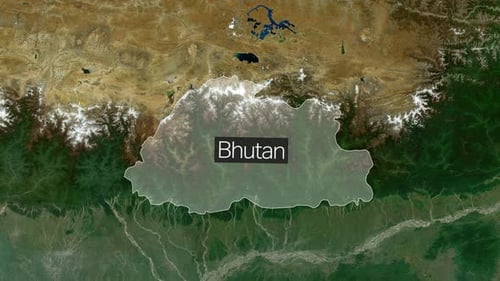
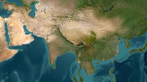
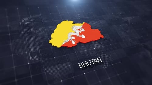
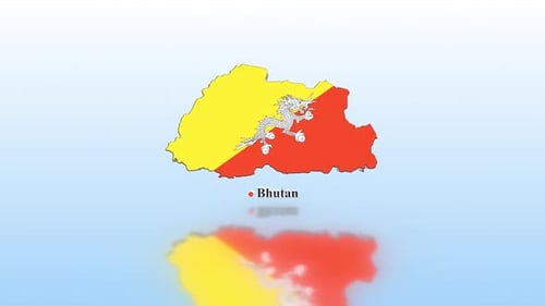
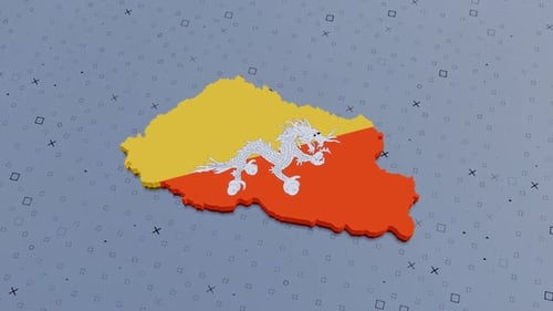
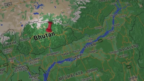
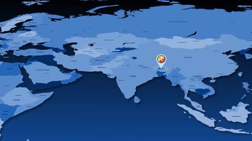
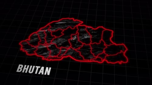
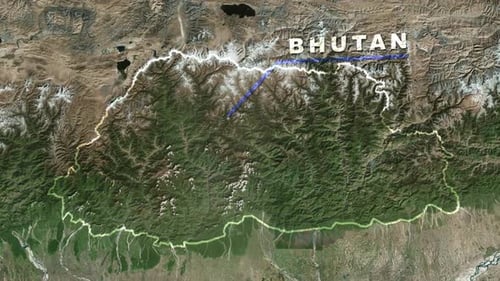
This animated clip begins with a stunning satellite view of Earth from space, showcasing city lights at night before transitioning to a vibrant daylight perspective. The camera then smoothly zooms in, focusing on the mountainous region of Bhutan. A clean, animated line traces the country's geographical border, precisely outlining its shape. Simultaneously, the name 'BHUTAN' appears as an overlay, clearly identifying the nation. This visual effect is perfect for enhancing geographical presentations, travel documentaries, educational content, or any project requiring a dynamic and informative display of global locations and boundaries. The realistic satellite imagery combined with precise graphic overlays creates a sophisticated and engaging visual explanation.