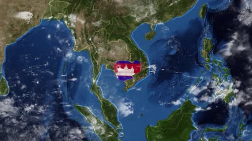
Earth Zoom to Cambodia Map with Flag Reveal Animation
By MisModishOne great value subscription from $16.50/month
- Unlimited downloads of 27+ million creative assets
- AI Tools: video, image and more
- Lifetime commercial license
- Easy cancellation
- Length
- 0:15
- Resolution
- 3840 x 2160
- File Size
- 157 MB
- Frame Rate
- 25 fps
- Alpha Channel
- No
- Looped
- No
- Video Encoding
- H.264
- Orientation
- Horizontal
- Commercial License
- Further Information
Description
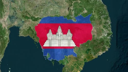
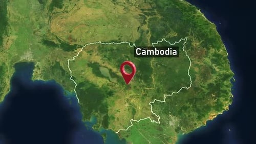
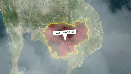
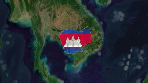
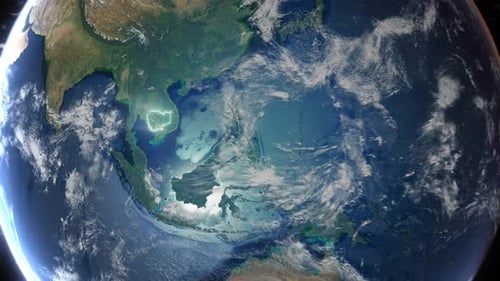
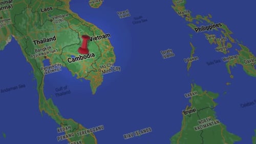
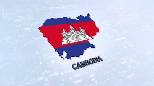
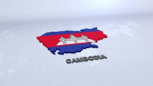
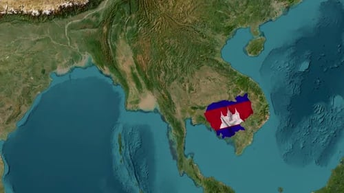
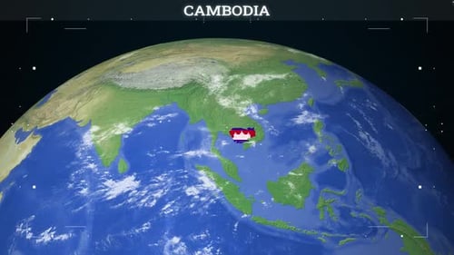
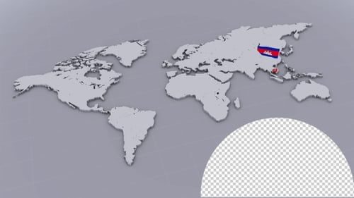
This dynamic animated clip offers a breathtaking journey from a global perspective down to a specific nation. Starting with a realistic 3D model of Earth rotating against a starry cosmos, the animation then smoothly transitions into a dramatic zoom. The camera delves through the atmosphere, focusing on the detailed geographical features of Southeast Asia before precisely targeting Cambodia. As the view settles on the country's borders, the vibrant national flag of Cambodia gracefully emerges and fills its outline. This professional motion graphic is perfect for news broadcasts, educational content, travel vlogs, corporate presentations, or any project needing to highlight a particular country's location and identity with visual impact and precision. It combines detailed satellite imagery with compelling animation to create an engaging visual narrative for geographical introductions or global event coverage.