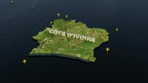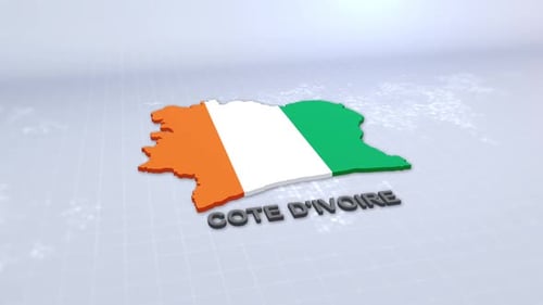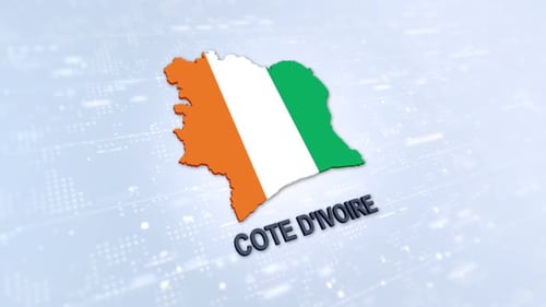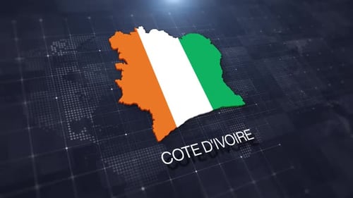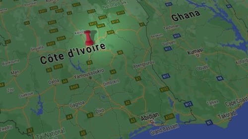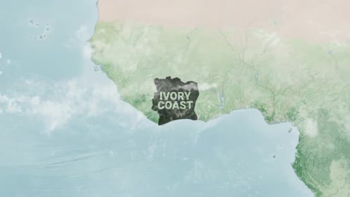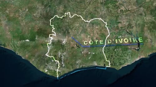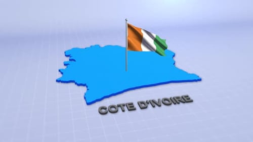
Digital Map Highlight Animation for Côte d'Ivoire Country Reveal
By mimi_ragabOne great value subscription from $16.50/month
- Unlimited downloads of 27+ million creative assets
- AI Tools: video, image and more
- Lifetime commercial license
- Easy cancellation
- Length
- 0:15
- Resolution
- 3840 x 2160
- File Size
- 153 MB
- Frame Rate
- 30 fps
- Alpha Channel
- No
- Looped
- No
- Video Encoding
- H.264
- Orientation
- Horizontal
- Commercial License
- Further Information
Description
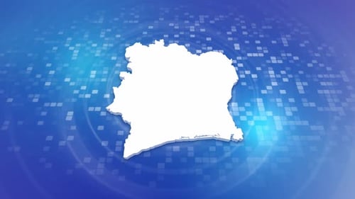
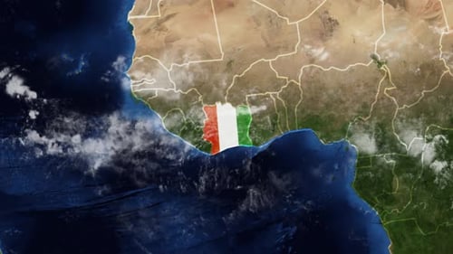
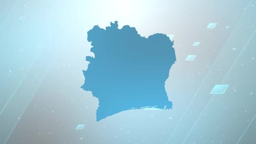
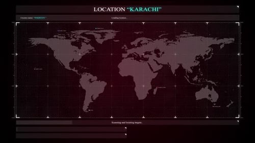
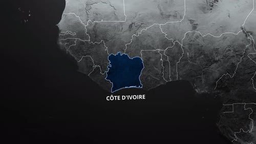
This animated clip dynamically highlights the country of Côte d'Ivoire on a dark, textured world map. The animation begins with a monochromatic, satellite-style view of the African continent, showcasing general topographical features and political borders. As the sequence progresses, the outline of Côte d'Ivoire illuminates with a distinct, vibrant blue glow, drawing immediate attention to the region. Following this outline, the interior of the country fluidly fills with a subtle, textured blue, contrasting elegantly with the surrounding map. Concurrently, the bold, white text 'CÔTE D'IVOIRE' appears with a clean animation beneath the highlighted nation, clearly identifying the territory. Designed for clear and precise geographical data visualization, this modern and clean animation enhances a variety of media, including corporate presentations, news segments, educational videos, documentaries, and travel content. Its professional aesthetic and informative reveal make it an ideal asset for geopolitical analyses, business reports, or any project that requires an impactful and elegant way to pinpoint and showcase specific global locations.