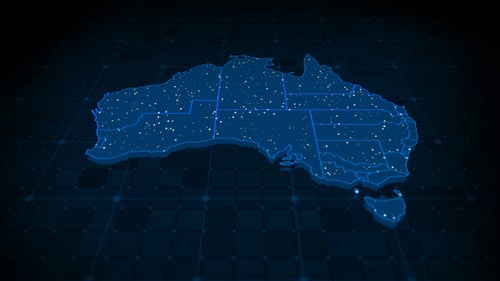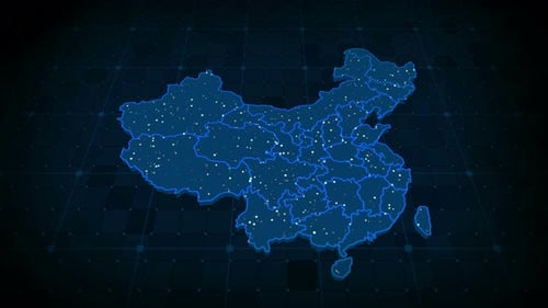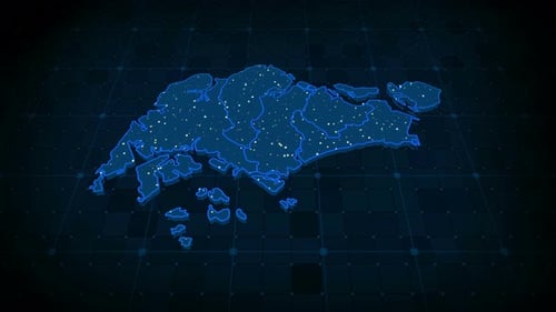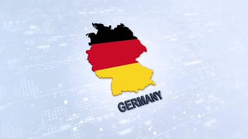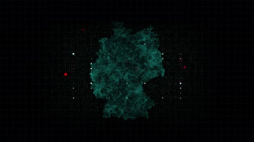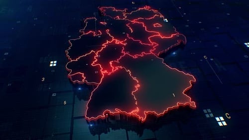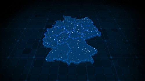
Digital Map of Germany with Data Points and Network Connections
By PoR888One great value subscription from $16.50/month
- Unlimited downloads of 27+ million creative assets
- AI Tools: video, image and more
- Lifetime commercial license
- Easy cancellation
Already have an account? Sign in
Attributes
- Length
- 0:20
- Resolution
- 3840 x 2160
- File Size
- 769 MB
- Frame Rate
- 25 fps
- Alpha Channel
- No
- Looped
- No
- Video Encoding
- Photo JPEG
- Orientation
- Horizontal
- Commercial License
- Further Information
Description
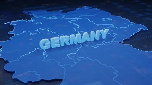
This animated visual features a futuristic digital map of Germany, presented in a sleek, dark blue hue. The map, divided into its federal states, is overlaid with a subtle grid background. Dynamic, glowing white dots appear and disappear across the map, suggesting active data flow, network connections, or population density. This high-tech animation is ideal for corporate presentations, news broadcasts, or any project requiring a modern, data-driven visualization of Germany's regions and connectivity. It provides a clean and professional aesthetic for showcasing technological advancements or geographical information.