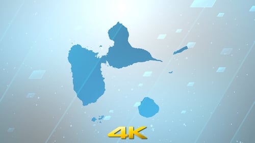
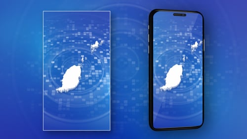
Guadeloupe Map Outline Reveal on Blue Digital Grid
By StrokeVorkzOne great value subscription from $16.50/month
- Unlimited downloads of 27+ million creative assets
- AI Tools: video, image and more
- Lifetime commercial license
- Easy cancellation
Already have an account? Sign in
Attributes
- Length
- 0:12
- Resolution
- 1920 x 1080
- File Size
- 116 MB
- Frame Rate
- 29.97 fps
- Alpha Channel
- No
- Looped
- No
- Video Encoding
- H.264
- Orientation
- Horizontal
- Commercial License
- Further Information
Description
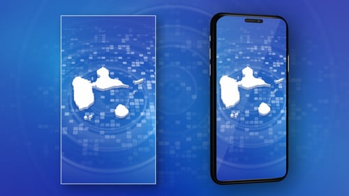
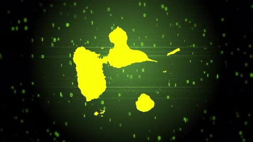
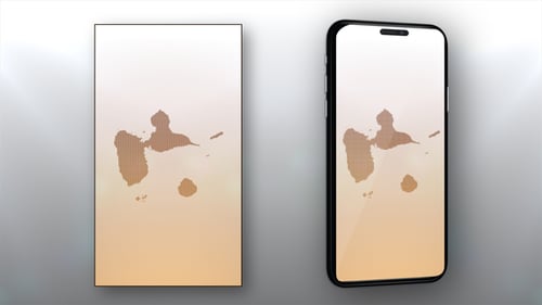
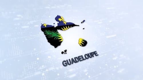
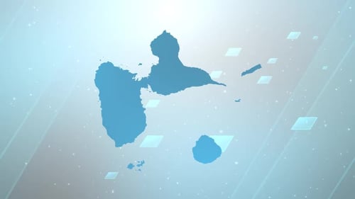
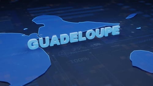
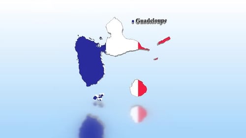
This animated clip features a sophisticated reveal of the Guadeloupe map. A crisp white outline of the islands emerges against a vibrant blue digital background, composed of shifting squares and radiating circular patterns. The 3D map then smoothly fills in, creating a solid representation of the geography. This clean, futuristic visual effect is ideal for corporate presentations, news broadcasts, travel documentaries, or educational content focused on geography, global connectivity, or regional data visualization. Its modern aesthetic and precise animation offer a professional and engaging way to highlight specific locations or demonstrate geographical information.