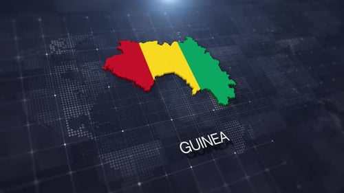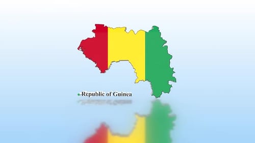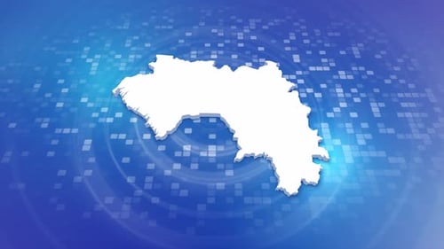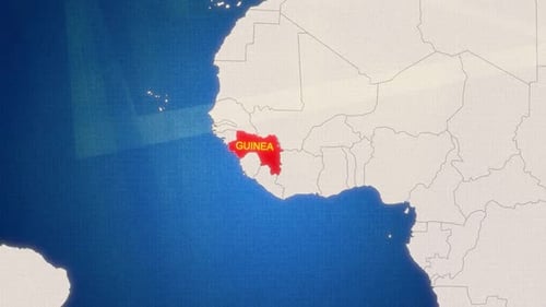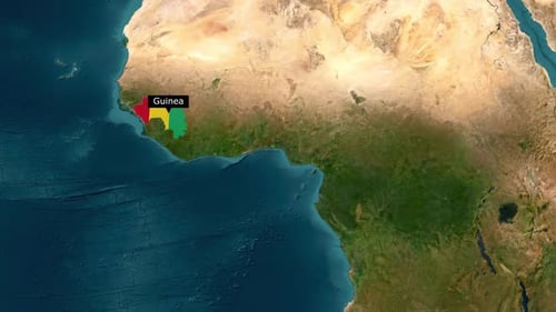
Guinea Map Outline Reveal with Flag Colors
By hazemgaballah222One great value subscription from $16.50/month
- Unlimited downloads of 27+ million creative assets
- AI Tools: video, image and more
- Lifetime commercial license
- Easy cancellation
Already have an account? Sign in
Attributes
- Length
- 0:10
- Resolution
- 1920 x 1080
- File Size
- 12.5 MB
- Frame Rate
- 30 fps
- Alpha Channel
- No
- Looped
- No
- Video Encoding
- H.264
- Orientation
- Horizontal
- Commercial License
- Further Information
Description
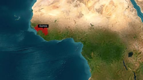
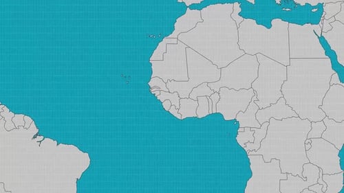
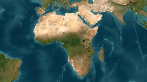
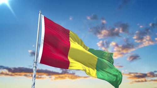
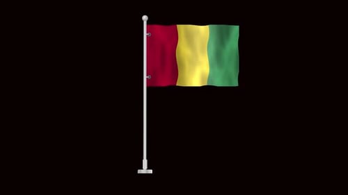
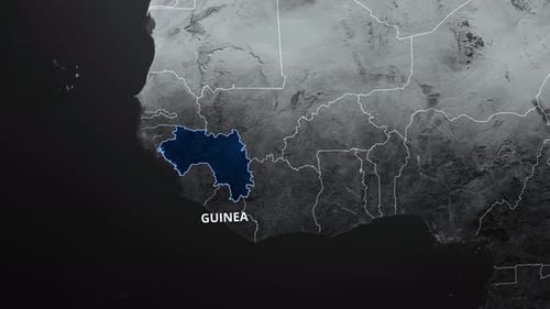
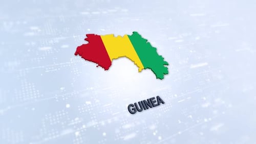
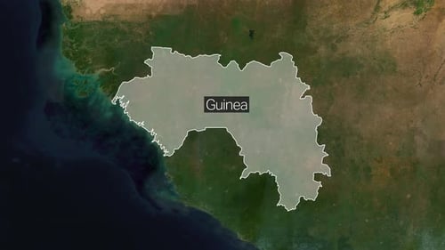
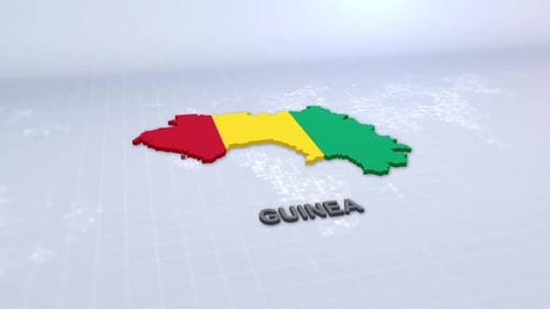
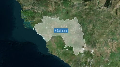
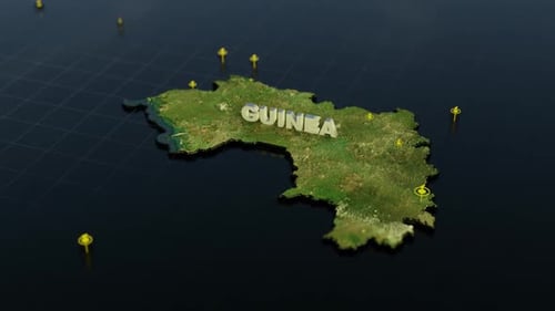
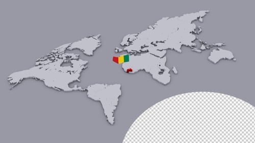
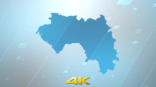
This animated clip presents a detailed satellite view of Africa, smoothly zooming in to focus on the nation of Guinea. A crisp white outline of the country's borders emerges, which then dynamically fills with the vibrant red, yellow, and green colors of the Guinean national flag. A clear black label displaying 'Guinea' appears above the highlighted region, ensuring easy identification. This precise and engaging visual effect is perfect for enhancing news broadcasts, educational content on world geography, or corporate presentations that require a professional and direct way to identify and highlight specific countries on a global map.