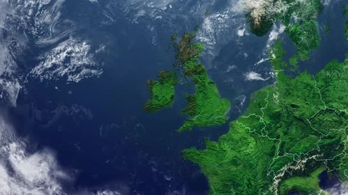
Europe Satellite Map Zoom with Ireland Highlight
By candy_animationOne great value subscription from $16.50/month
- Unlimited downloads of 27+ million creative assets
- AI Tools: video, image and more
- Lifetime commercial license
- Easy cancellation
- Length
- 0:22
- Resolution
- 3840 x 2160
- File Size
- 41.9 MB
- Frame Rate
- 30 fps
- Alpha Channel
- No
- Looped
- No
- Video Encoding
- H.264
- Orientation
- Horizontal
- Commercial License
- Further Information
Description
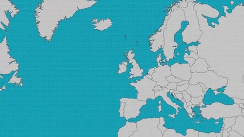
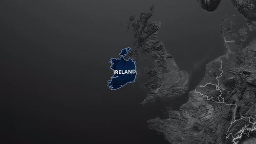
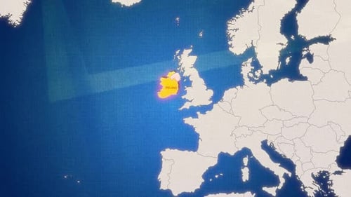
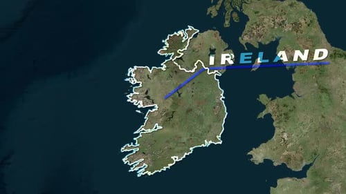
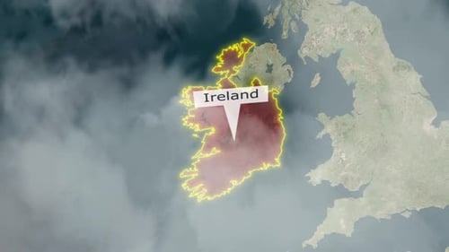
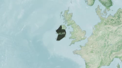
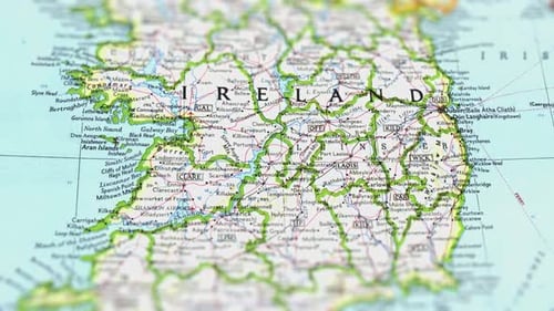
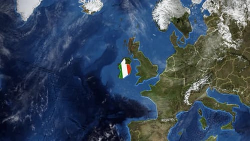
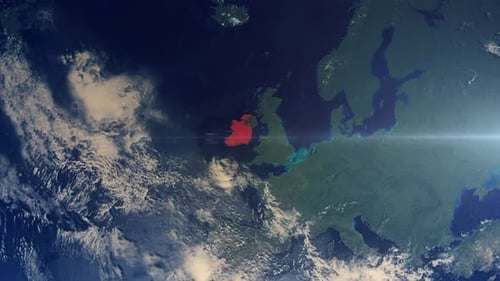
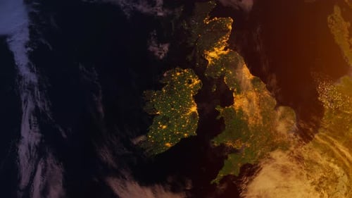
This animated clip begins with a high-altitude satellite view of Europe, showcasing detailed land and ocean textures with dynamic cloud movement across the globe. The perspective smoothly transitions, zooming in towards the British Isles, progressively revealing the national borders of surrounding countries with crisp, white outlines. The animation culminates with a distinct, vibrant red highlight seamlessly filling the outline of Ireland, drawing immediate and precise attention to the selected region within the broader European context. This visual effect is meticulously designed for clarity and impact, making it perfect for educational presentations, news broadcasts, corporate reports, or documentaries that require precise geographic identification and emphasis. It effectively guides the viewer's focus from a broad continental overview to a specific country, making complex location data easily digestible and highly engaging for any audience. The clean, modern design and fluid camera movement ensure a professional and sophisticated look for a wide range of projects, enhancing geographical narratives without distraction.