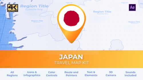
Dynamic Japan Map Data Points and Regional Display
By ChernuOne great value subscription from $16.50/month
- Unlimited downloads of 27+ million creative assets
- AI Tools: video, image and more
- Lifetime commercial license
- Easy cancellation
- Length
- 0:11
- Resolution
- 1920 x 1080
- File Size
- 2.45 GB
- Application Supported
- After Effects
- Required Plugin
- None required
- After Effects Versions
- CC, CS6, CS5.5, CS5
- Commercial License
- Further Information
Description
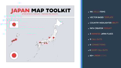
Unleash dynamic data visualization with this engaging animated Japan map template, perfect for showcasing complex geographical information with a modern, technological edge. This template features a futuristic digital aesthetic, complete with glowing regional outlines, interactive data points, and customizable connection lines that trace paths across the country. Users can easily add numerous numbered points to highlight specific locations, define travel routes, or present regional statistics with precision. The design allows for individual color selection for each Japanese prefecture, offering clear and distinct visual segmentation to convey diverse data sets or categories. Further enhance your presentations by integrating images or user avatars at each data point, making your information more relatable and personalized. This versatile template is an ideal solution for business intelligence, educational content, corporate presentations, travel documentaries, strategic planning, or any project that demands a sophisticated, customizable, and visually striking representation of Japan's geography and data flow. Its clean, technology-driven design ensures a professional and highly engaging display for any audience.