3D Earth Zooming to USA Map with State Highlight
By RevLine3DOne great value subscription from $16.50/month
- Unlimited downloads of 27+ million creative assets
- AI Tools: video, image and more
- Lifetime commercial license
- Easy cancellation
- Length
- 0:10
- Resolution
- 1920 x 1080
- File Size
- 315 MB
- Frame Rate
- 25 fps
- Alpha Channel
- No
- Looped
- No
- Video Encoding
- ProRes
- Orientation
- Horizontal
- Commercial License
- Further Information
Description
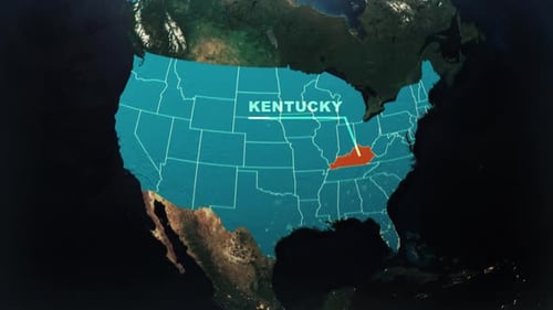
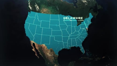
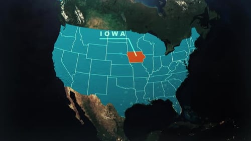
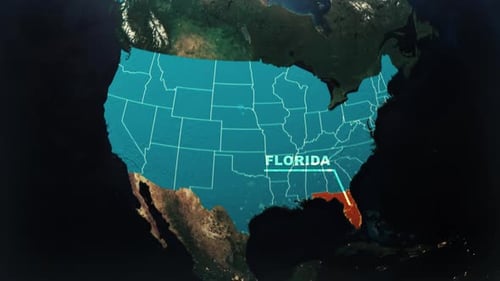
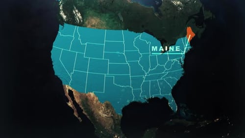
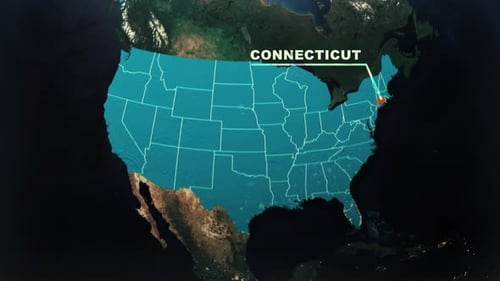
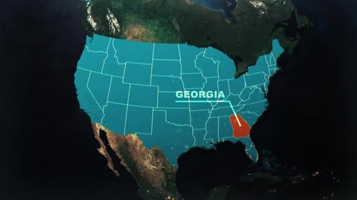
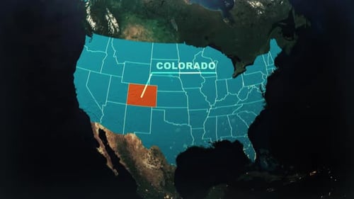
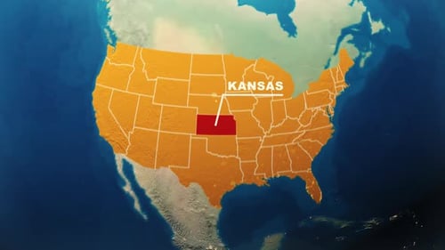
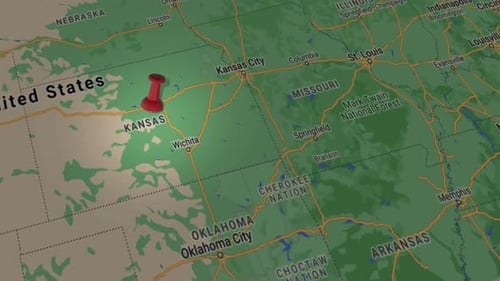
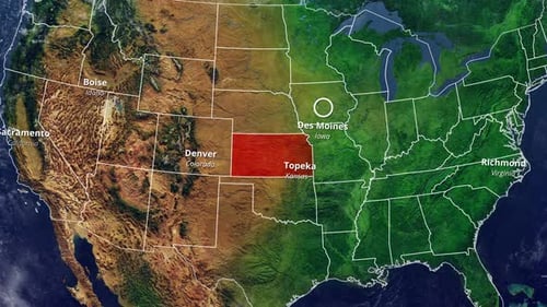
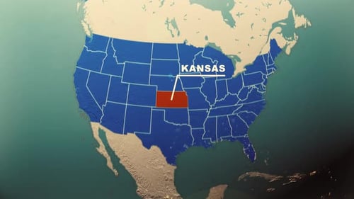
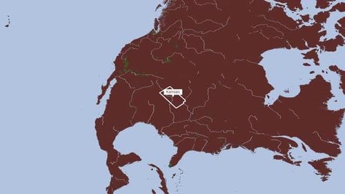
This animated clip features a captivating global journey, beginning with a detailed 3D Earth rotating gracefully in the vast expanse of space, showcasing visible continents and the shimmering city lights of its night side. The camera then executes a smooth, purposeful zoom towards the North American continent, seamlessly transitioning into a crisp, overlaying 2D map of the United States. Following this, the individual states are precisely outlined and revealed, culminating in a specific state, such as Kansas demonstrated in the preview, being distinctively emphasized with a vibrant highlight. A clear, accompanying text label then appears, identifying the selected region. This clean, digital, and highly informative visual effect is an ideal asset for a wide range of projects, including geographical presentations, dynamic location-based data visualizations, educational content, compelling travel documentaries, breaking news segments, or corporate presentations that require a precise and engaging method to pinpoint specific regions on a global or national scale. It offers a professional, modern, and visually compelling way to convey spatial information with clarity and impact.