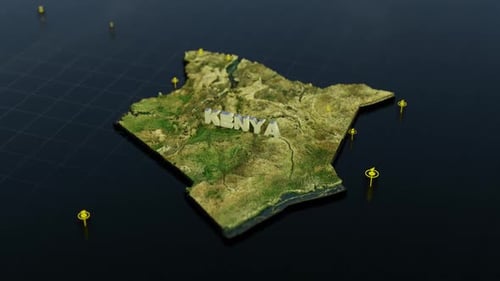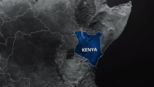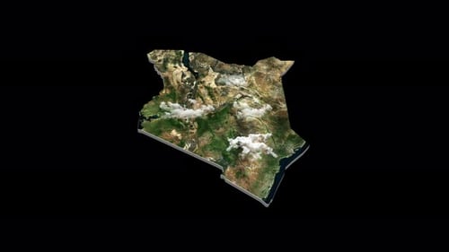
3D Satellite Map of Kenya Rotating Earth View
By RevLine3DOne great value subscription from $16.50/month
- Unlimited downloads of 27+ million creative assets
- AI Tools: video, image and more
- Lifetime commercial license
- Easy cancellation
- Length
- 0:10
- Resolution
- 3840 x 2160
- File Size
- 872 MB
- Frame Rate
- 29.97 fps
- Alpha Channel
- Yes
- Looped
- No
- Video Encoding
- ProRes
- Orientation
- Horizontal
- Commercial License
- Further Information
Description
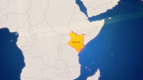
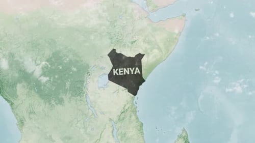
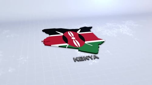
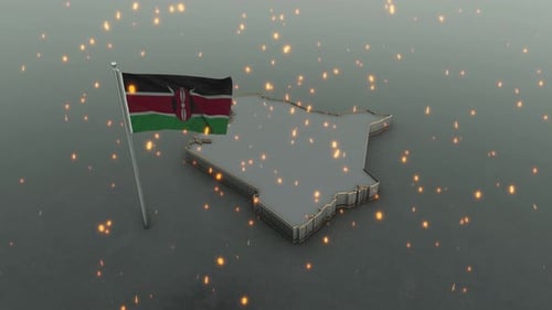
This animated clip presents a meticulously crafted, three-dimensional satellite map of Kenya, designed to provide a comprehensive and engaging geographical overview. The detailed rendering showcases the nation's diverse topography, including its majestic mountains, sprawling valleys, lush green areas, arid regions, and its extensive coastline along the Indian Ocean. Subtle, realistic cloud patterns drift across the landscape, adding an authentic atmospheric touch to the satellite imagery and enhancing the realism of the scene. The map gracefully rotates on its axis, allowing viewers to appreciate its full contours and internationally recognized borders from multiple perspectives. This professional and informative visual asset serves as an excellent geographic identifier or a compelling background element for various media projects. It is perfectly suited for educational documentaries, news broadcasts focusing on African geopolitics, travel vlogs exploring Kenya's natural beauty, or corporate presentations requiring a sophisticated visual representation of the country. Its clean aesthetics, accurate depiction, and smooth animation make it a versatile tool for enhancing content related to geography, international studies, environmental science, regional business initiatives, or any narrative requiring a clear and dynamic presentation of the Kenyan landmass.