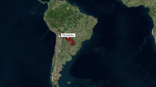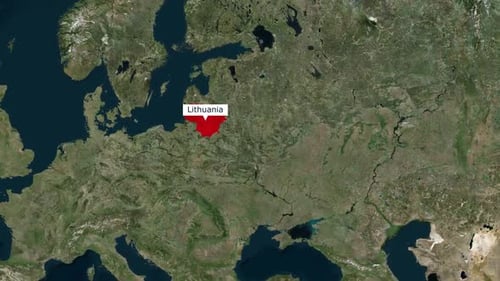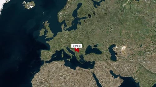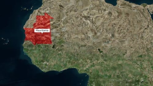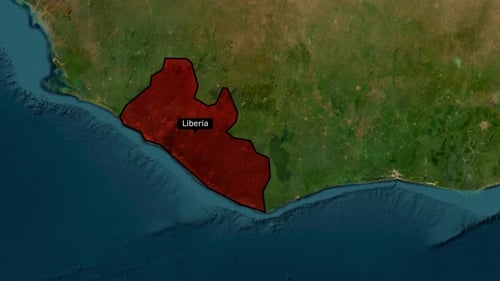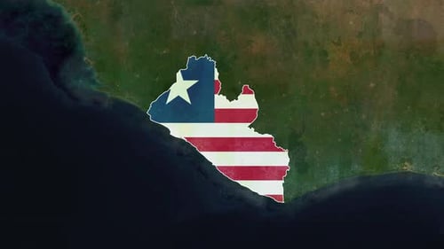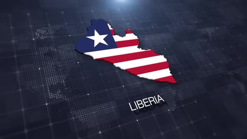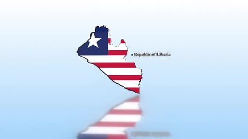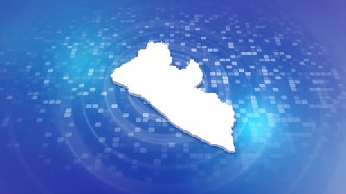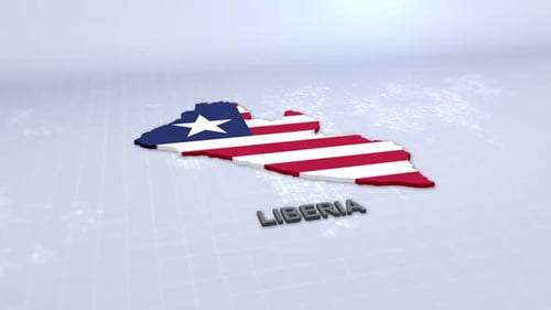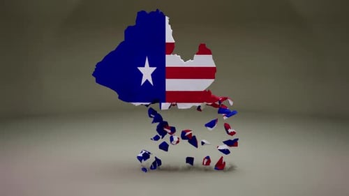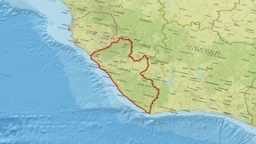
Animated Satellite Map Zooming and Highlighting Liberia
By Motion_MasterOne great value subscription from $16.50/month
- Unlimited downloads of 27+ million creative assets
- AI Tools: video, image and more
- Lifetime commercial license
- Easy cancellation
Already have an account? Sign in
Attributes
- Length
- 0:10
- Resolution
- 1920 x 1080
- File Size
- 24.9 MB
- Frame Rate
- 30 fps
- Alpha Channel
- No
- Looped
- No
- Video Encoding
- H.264
- Orientation
- Horizontal
- Commercial License
- Further Information
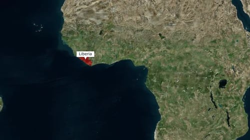
Description
This animated visual effect presents a dynamic zoom-in on the global map, seamlessly transitioning from a wide view of the African continent to pinpoint and highlight the country of Liberia. The country's borders are clearly outlined and filled with a vibrant red, drawing immediate attention to the specific region. A clean, modern text label identifies "Liberia" as the camera gently continues to pan, maintaining focus on the highlighted area. This modern and precise animation is ideal for educational content, travel documentaries, news reports, or any project requiring clear geographical illustration and location emphasis, offering a professional and informative visual to pinpoint specific global regions.