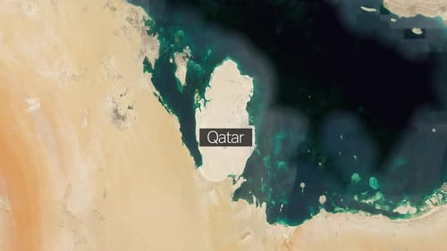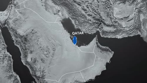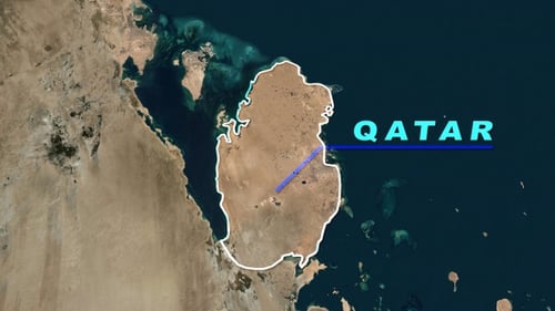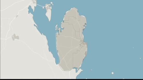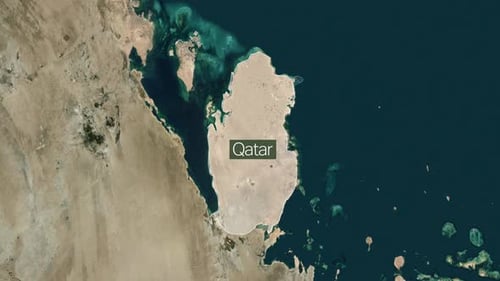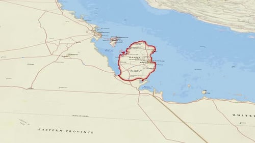
Animated Map Zoom into Qatar Political Boundaries
By jasejlaOne great value subscription from $16.50/month
- Unlimited downloads of 27+ million creative assets
- AI Tools: video, image and more
- Lifetime commercial license
- Easy cancellation
Already have an account? Sign in
Attributes
- Length
- 0:19
- Resolution
- 3840 x 2160
- File Size
- 107 MB
- Frame Rate
- 30 fps
- Alpha Channel
- No
- Looped
- No
- Video Encoding
- H.264
- Orientation
- Horizontal
- Commercial License
- Further Information
Description
This animated visual presents a dynamic zoom-in on the country of Qatar from a wider geographical perspective. The animation smoothly highlights Qatar's national borders with a distinct red outline, revealing its internal political divisions and major cities. The clean, modern aesthetic uses a neutral color palette for the land and sea, making it suitable for a wide range of informational or educational projects. This clip effectively illustrates specific geographic locations, making it an ideal asset for travel documentaries, corporate presentations, news segments, or educational content requiring a focus on the Middle East region.