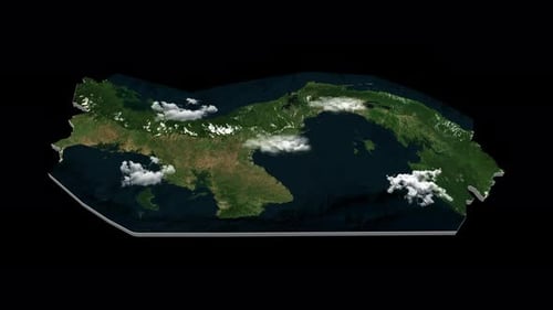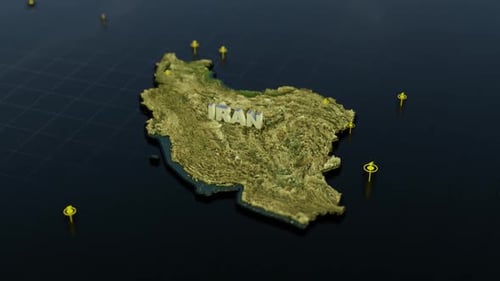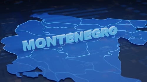
Global Earth Zoom Reveals Country Map Outline and Name
By RevLine3DOne great value subscription from $16.50/month
- Unlimited downloads of 27+ million creative assets
- AI Tools: video, image and more
- Lifetime commercial license
- Easy cancellation
- Length
- 0:10
- Resolution
- 1920 x 1080
- File Size
- 11.9 MB
- Frame Rate
- 25 fps
- Alpha Channel
- No
- Looped
- No
- Video Encoding
- H.264
- Orientation
- Horizontal
- Commercial License
- Further Information
Description
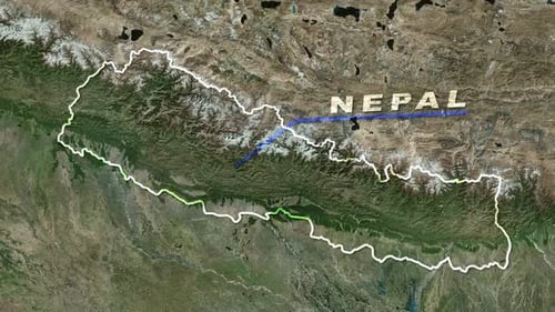
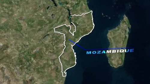
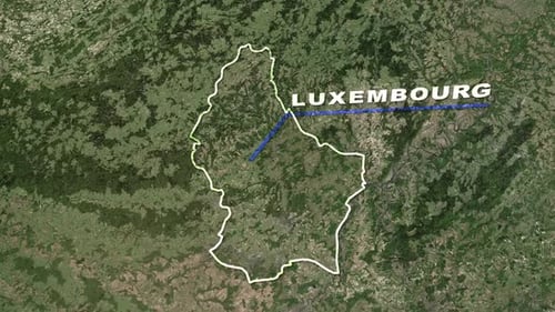
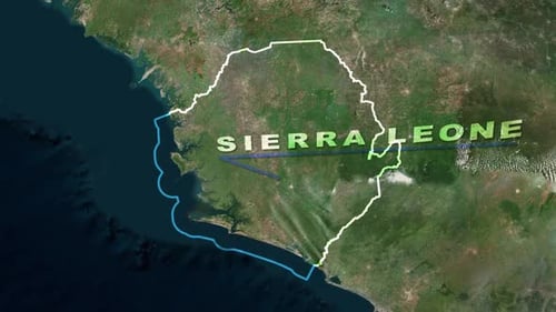
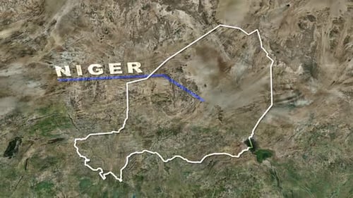
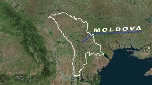
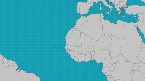
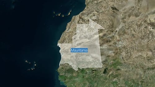
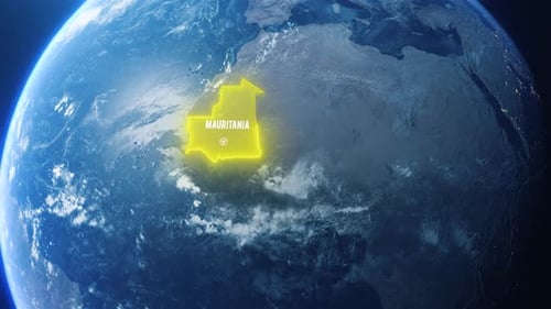
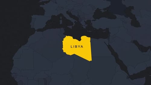
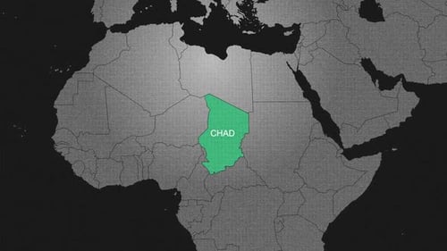
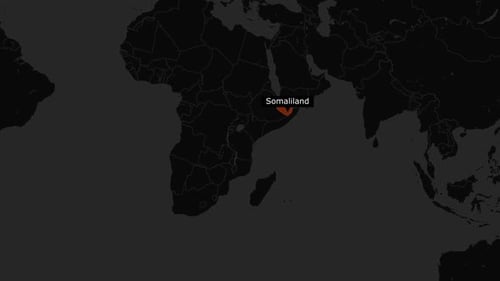
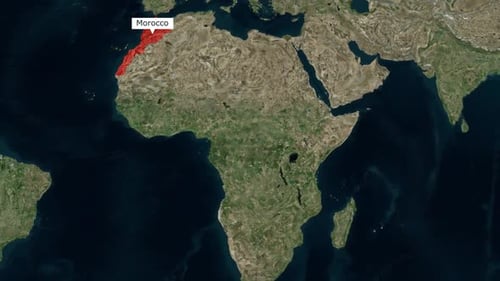
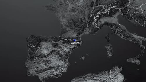
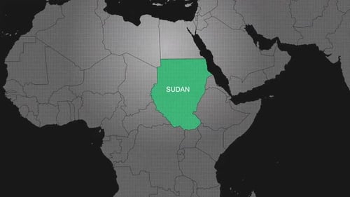
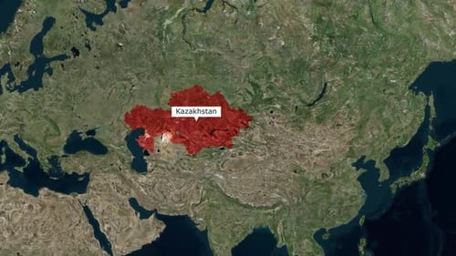
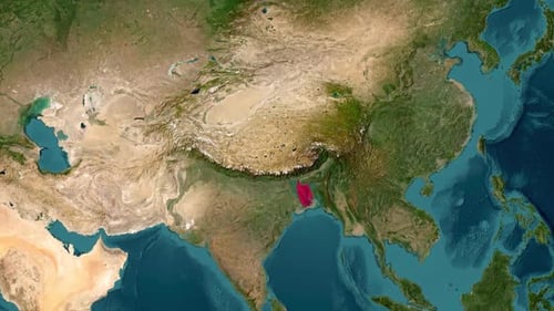
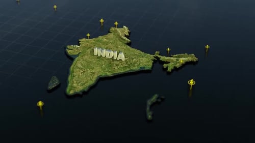
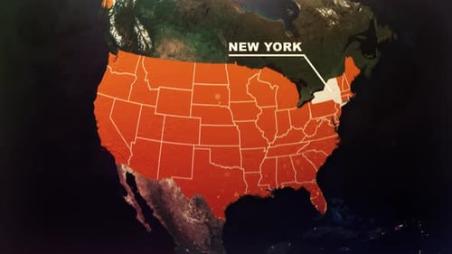
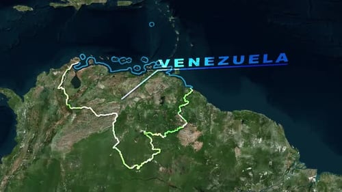
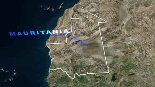
This animated clip opens with a dynamic satellite view of Earth, smoothly transitioning from a wide global perspective to a focused zoom on a specific geographical region. As the camera approaches, a precise white outline of a country's border seamlessly animates onto the detailed satellite imagery, clearly defining its shape. Concurrently, the country's name appears with a clean, modern text animation, highlighting the identified location. The visual tone is highly informative and professional, blending realistic geographical textures with crisp graphic elements to deliver accurate and engaging data. This animation is an excellent tool for enhancing educational videos, news segments, travel series, or corporate presentations that require a sophisticated and clear introduction to global locations and their respective boundaries.