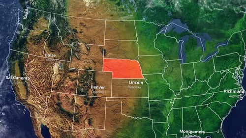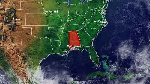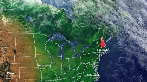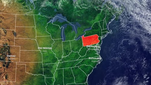
Animated USA Map Highlighting States and Capital Cities
By candy_animationOne great value subscription from $16.50/month
- Unlimited downloads of 27+ million creative assets
- AI Tools: video, image and more
- Lifetime commercial license
- Easy cancellation
Already have an account? Sign in
Attributes
- Length
- 0:22
- Resolution
- 3840 x 2160
- File Size
- 138 MB
- Frame Rate
- 30 fps
- Alpha Channel
- No
- Looped
- No
- Video Encoding
- H.264
- Orientation
- Horizontal
- Commercial License
- Further Information
Description
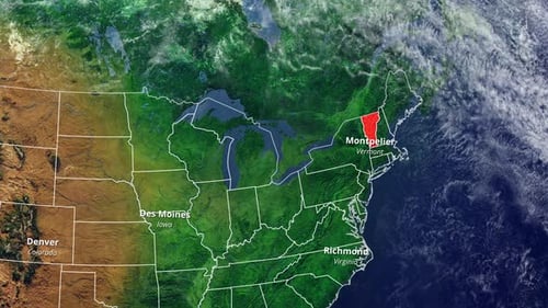
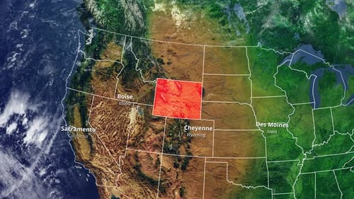
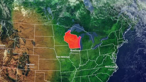
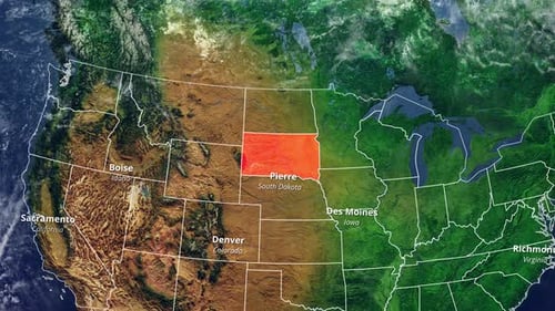
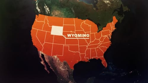
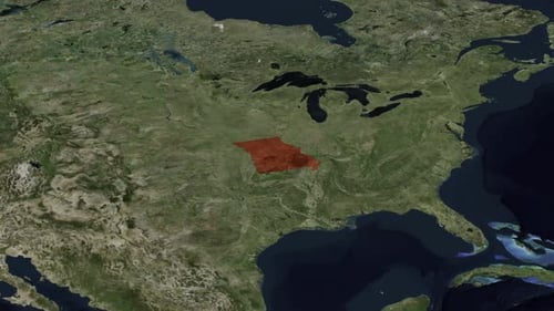
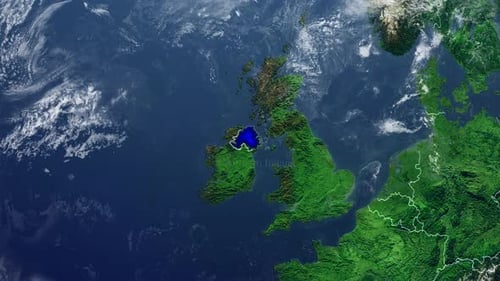
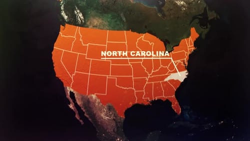
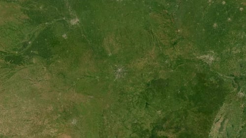
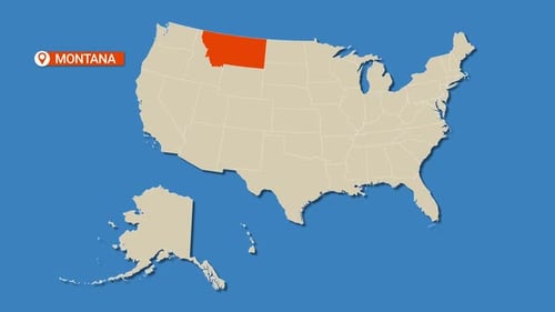
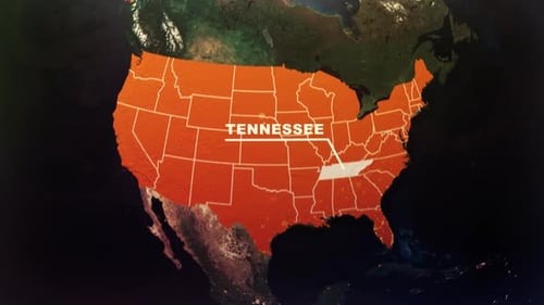
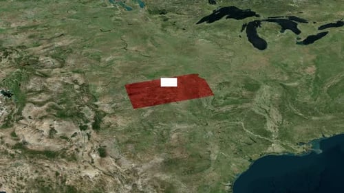
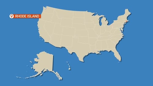
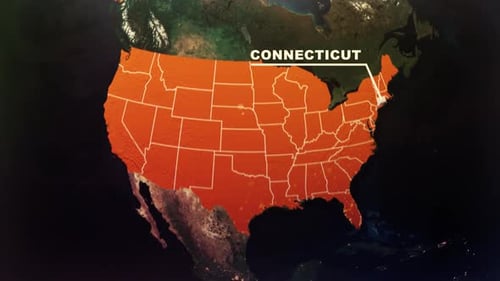
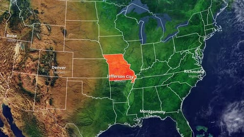
This animated clip begins with a dynamic fly-in view of the North American continent, showcasing detailed satellite imagery of the Earth. As the camera zooms closer, the United States map appears with its individual state borders cleanly outlined. The animation then highlights a specific state in a vibrant red color, revealing its name and capital city with smooth text overlays. This visual effect is ideal for news broadcasts, educational presentations, business reports, or any project requiring clear and engaging geographic data visualization to pinpoint locations and display regional information effectively.