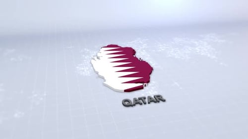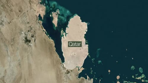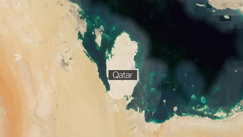
Earth Zoom to Qatar Map Location with Flag Reveal
By MisModishOne great value subscription from $16.50/month
- Unlimited downloads of 27+ million creative assets
- AI Tools: video, image and more
- Lifetime commercial license
- Easy cancellation
- Length
- 0:15
- Resolution
- 3840 x 2160
- File Size
- 142 MB
- Frame Rate
- 25 fps
- Alpha Channel
- No
- Looped
- No
- Video Encoding
- H.264
- Orientation
- Horizontal
- Commercial License
- Further Information
Description
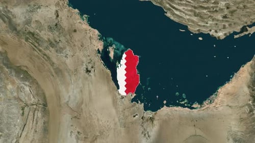
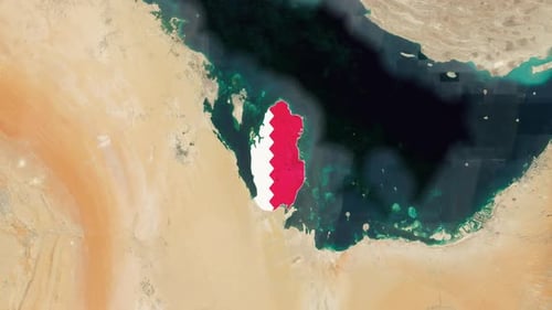
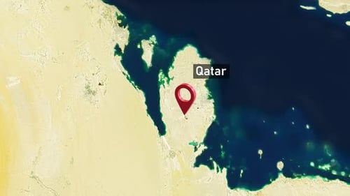
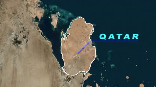
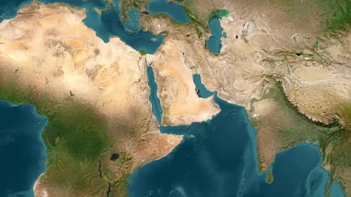
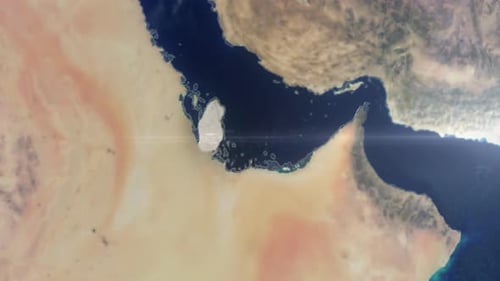
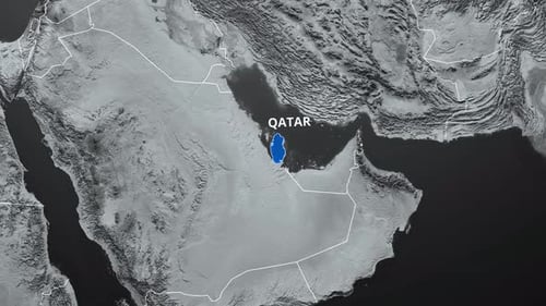
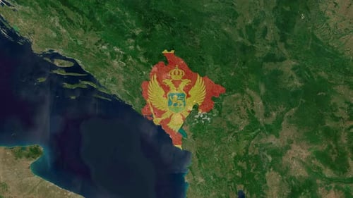
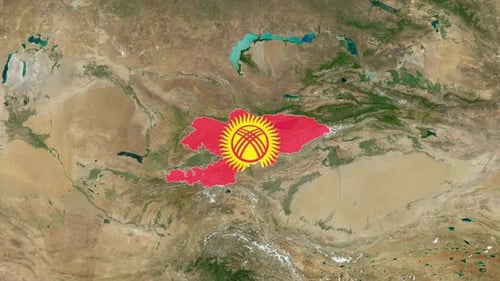
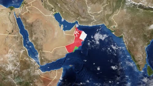
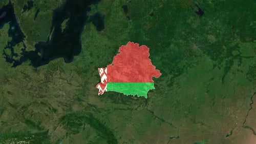
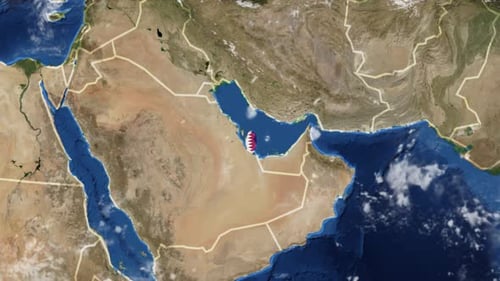
This animation features a realistic 3D model of the Earth, which rotates slowly in space amidst twinkling stars. The perspective shifts smoothly, zooming from a broad planetary view to a detailed satellite map. The camera's focus gradually centers on the Middle East, specifically highlighting the geographical outline of Qatar. As the zoom completes, the national flag of Qatar is revealed, precisely placed over the country's territory. This visual sequence effectively demonstrates a transition from a global scale to a specific regional or national focus. It can be utilized in various media contexts, such as geographical explainers, documentary footage, news broadcasts, or corporate presentations that require precise location identification. The clear rendering of landforms, water bodies, and national borders, combined with the distinct flag reveal, makes this a clear and direct method for identifying a country on a world map.