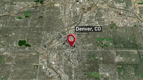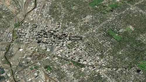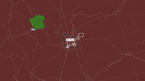
Modern Animated Map of Denver with Highlighted Region
By jasejlaOne great value subscription from $16.50/month
- Unlimited downloads of 27+ million creative assets
- AI Tools: video, image and more
- Lifetime commercial license
- Easy cancellation
Already have an account? Sign in
Attributes
- Length
- 0:12
- Resolution
- 3840 x 2160
- File Size
- 48.6 MB
- Frame Rate
- 30 fps
- Alpha Channel
- No
- Looped
- No
- Video Encoding
- H.264
- Orientation
- Horizontal
- Commercial License
- Further Information
Description
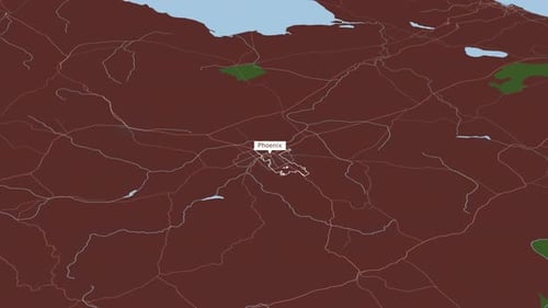
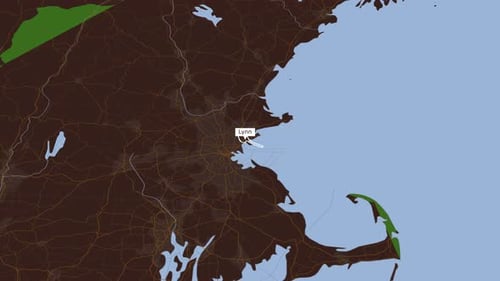
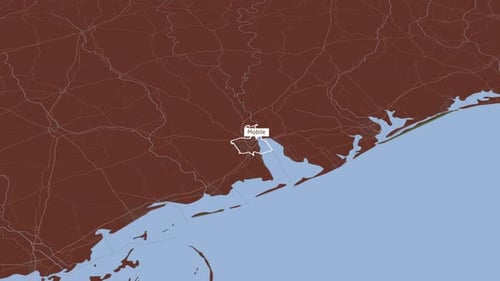
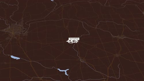
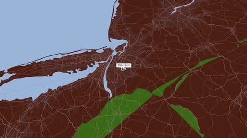
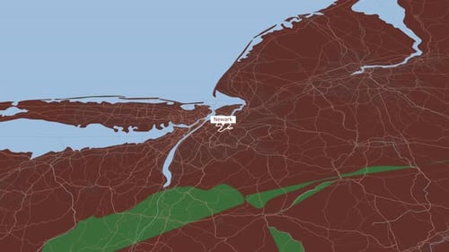
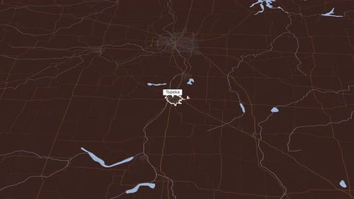
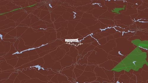
This modern animated map provides a clean and dynamic visualization of the Denver metropolitan area. The animation smoothly pans and zooms, highlighting the city limits of Denver with a crisp white outline. Additionally, a distinct green-shaded region and a small lake are brought into focus, along with the intricate network of surrounding roads and geographical features. This versatile motion graphic is ideal for corporate presentations, location-based services, urban planning projects, or any content requiring precise and engaging geographic data representation. Its minimalist aesthetic and smooth transitions make it a professional choice for illustrating territorial boundaries, travel routes, or demographic information.