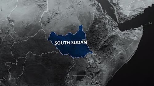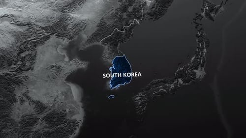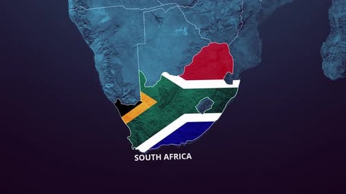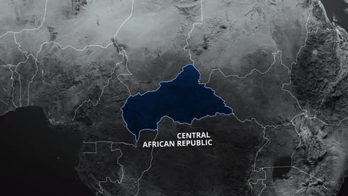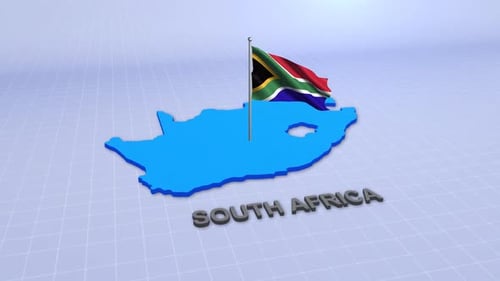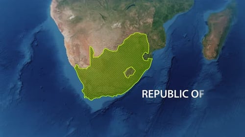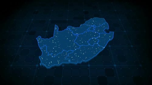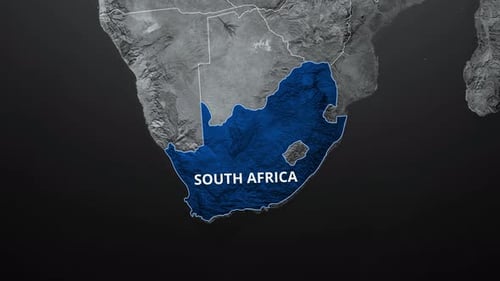
Animated Map Highlight of South Africa
By mimi_ragabOne great value subscription from $16.50/month
- Unlimited downloads of 27+ million creative assets
- AI Tools: video, image and more
- Lifetime commercial license
- Easy cancellation
Already have an account? Sign in
Attributes
- Length
- 0:15
- Resolution
- 3840 x 2160
- File Size
- 153 MB
- Frame Rate
- 30 fps
- Alpha Channel
- No
- Looped
- No
- Video Encoding
- H.264
- Orientation
- Horizontal
- Commercial License
- Further Information
Description
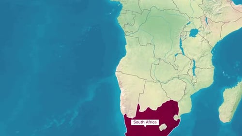
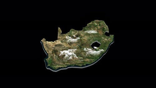
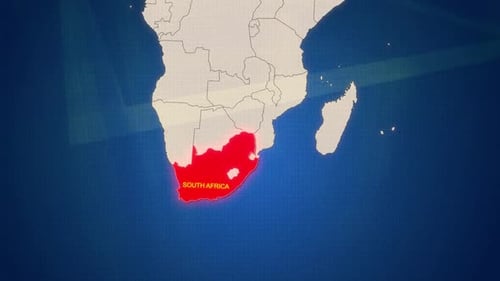
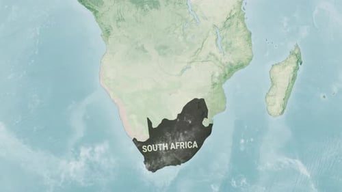
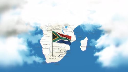
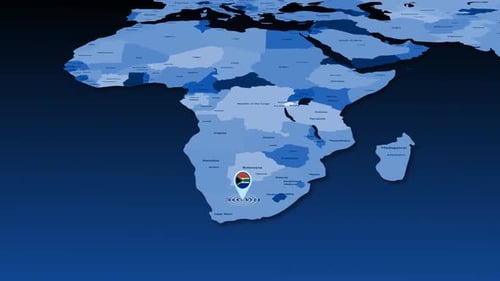
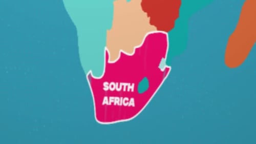
This animated clip presents a detailed, grayscale satellite map of the African continent with clear country borders. The animation dynamically highlights South Africa by first illuminating its national outline, then smoothly filling the entire country with a vibrant, textured blue color. Subsequently, the country's name, 'SOUTH AFRICA,' elegantly fades into view. This visual effect is clean, precise, and professional, making it an ideal tool for corporate presentations, educational videos, travel documentaries, or news reports that require a clear and engaging geographical identification of South Africa.