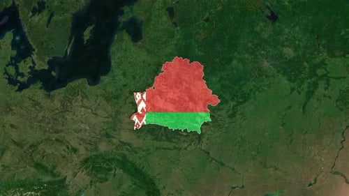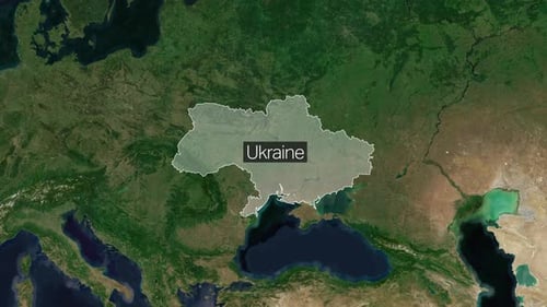
Satellite World Map Zoom to Ukraine Country Highlight
By MisModishOne great value subscription from $16.50/month
- Unlimited downloads of 27+ million creative assets
- AI Tools: video, image and more
- Lifetime commercial license
- Easy cancellation
- Length
- 0:10
- Resolution
- 3840 x 2160
- File Size
- 18.5 MB
- Frame Rate
- 25 fps
- Alpha Channel
- No
- Looped
- No
- Video Encoding
- H.264
- Orientation
- Horizontal
- Commercial License
- Further Information
Description
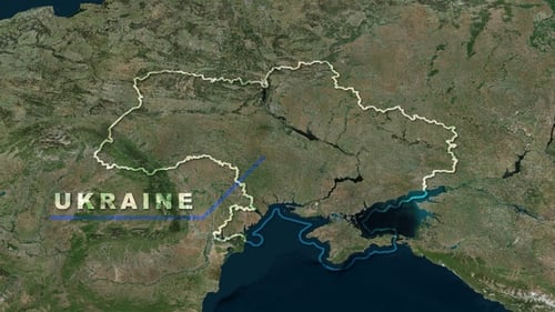
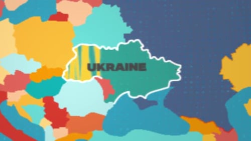
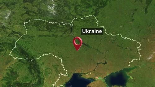
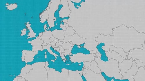
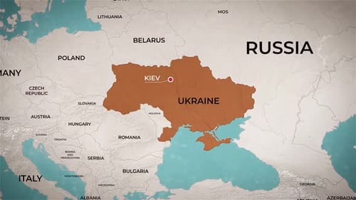
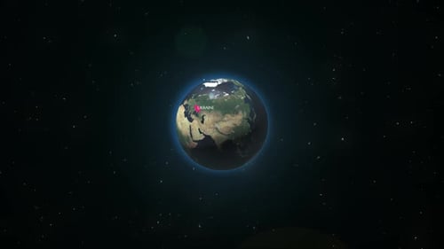
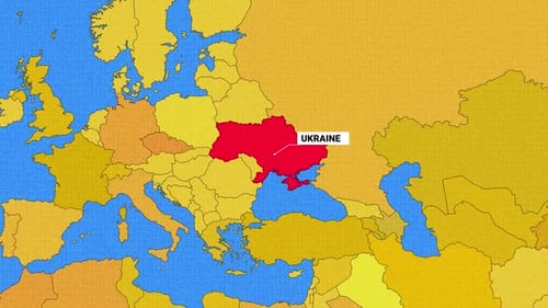
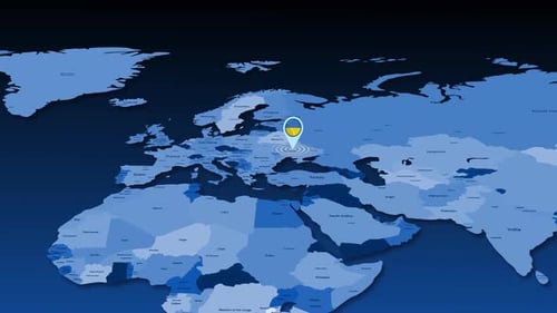
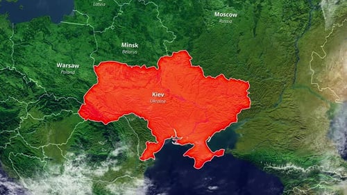
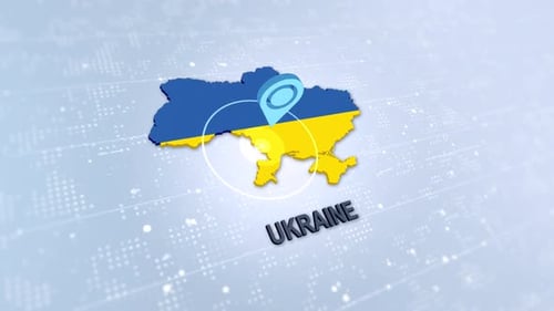
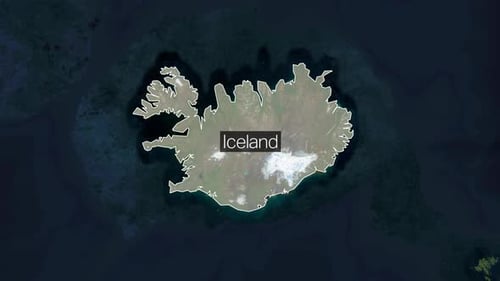
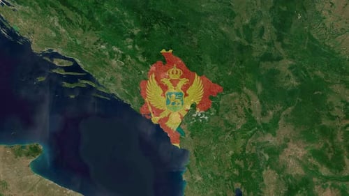
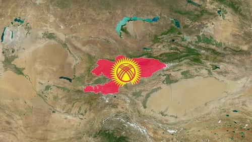
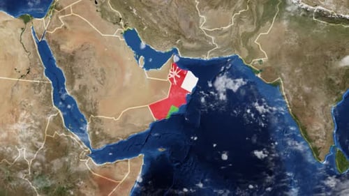
This animated clip presents a dynamic visual journey across a detailed satellite world map. Beginning with a broad global view, the camera smoothly zooms inward, transitioning from the wide expanse of continents and oceans to a focused perspective on the European region. The animation then precisely highlights the borders of Ukraine with a clean, animated white outline, simultaneously revealing a clear text label indicating 'Ukraine'. The visual style is modern and polished, showcasing realistic, high-definition earth textures and crisp graphical overlays. This effect is perfect for educational content, news broadcasts, business presentations, or travel documentaries that require a precise and engaging introduction to a specific geographical location. It effectively grounds a narrative by visually pinpointing a country within its global context, enhancing viewer comprehension and engagement for any project discussing international affairs, geography, or regional studies.