Animated Line Drawing of United States on World Map
By RevLine3DOne great value subscription from $16.50/month
- Unlimited downloads of 27+ million creative assets
- AI Tools: video, image and more
- Lifetime commercial license
- Easy cancellation
Already have an account? Sign in
Attributes
- Length
- 0:10
- Resolution
- 3840 x 2160
- File Size
- 714 MB
- Frame Rate
- 30 fps
- Alpha Channel
- No
- Looped
- No
- Video Encoding
- ProRes
- Orientation
- Horizontal
- Commercial License
- Further Information
Description
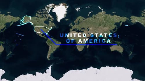
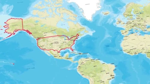
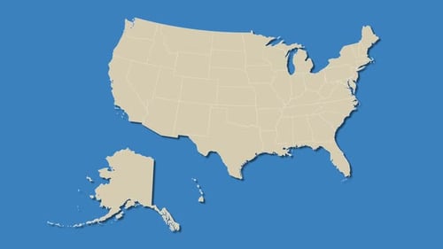
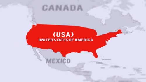
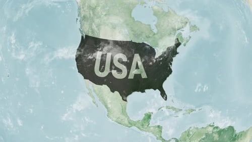
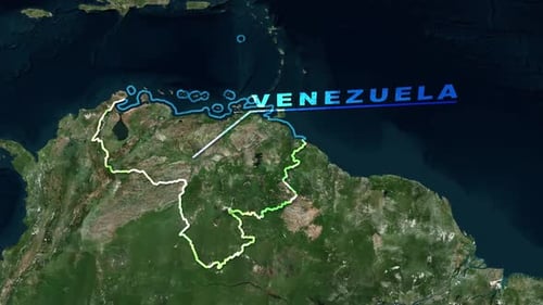
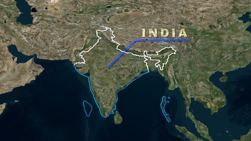
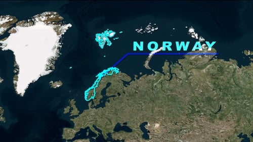
This animated clip displays a detailed satellite view of the world map. Dynamic lines precisely draw the geographical borders of the United States, including both the contiguous states and Alaska, before revealing the country's full name, "UNITED STATES OF AMERICA," with a connecting line across the globe. The clean and modern visual style makes this asset ideal for enhancing presentations, educational content, travel vlogs, or corporate reports that require clear and engaging geographical representation. It effectively highlights specific locations and can illustrate global connections or areas of focus with a professional touch.