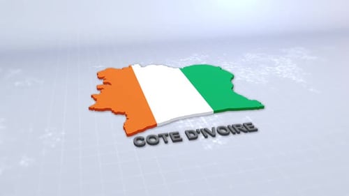
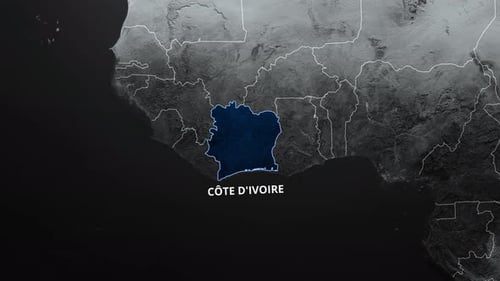
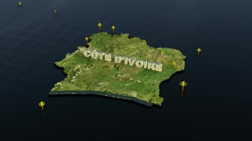
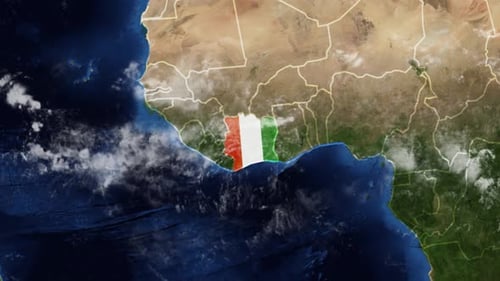
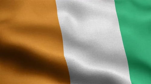
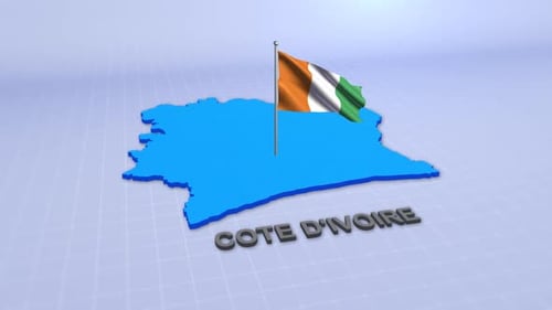
World Map Zoom into Côte d'Ivoire Borders and Name Reveal
By RevLine3DOne great value subscription from $16.50/month
- Unlimited downloads of 27+ million creative assets
- AI Tools: video, image and more
- Lifetime commercial license
- Easy cancellation
- Length
- 0:10
- Resolution
- 3840 x 2160
- File Size
- 712 MB
- Frame Rate
- 30 fps
- Alpha Channel
- No
- Looped
- No
- Video Encoding
- ProRes
- Orientation
- Horizontal
- Commercial License
- Further Information
Description
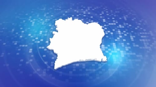
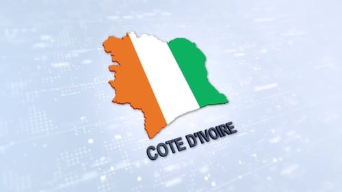
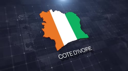
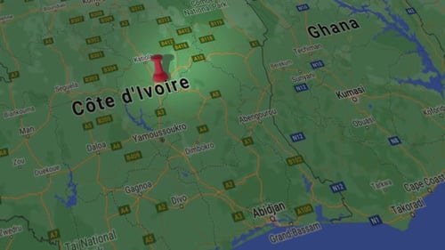
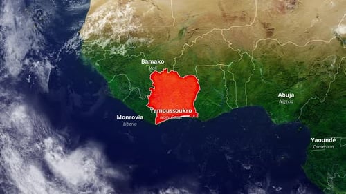
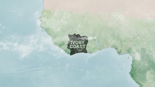
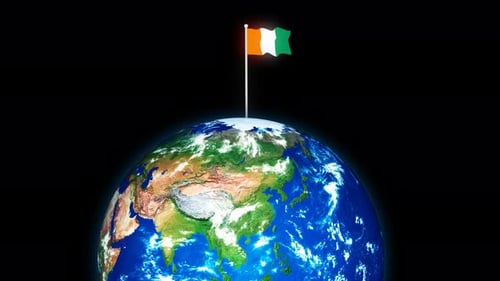
This animated visual begins with a detailed satellite view of the entire world map, offering a comprehensive global perspective. The camera then smoothly and precisely zooms in, focusing on the West African nation of Côte d'Ivoire. As the perspective narrows, the country's precise borders are drawn with a clear, glowing outline, highlighting its geographical shape. Following the border delineation, the name 'CÔTE D'IVOIRE' appears, elegantly revealed across the country's landmass. This clean and informative animation is ideal for geographical presentations, educational content, travel documentaries, or corporate reports requiring a clear and engaging way to introduce a specific location on a global scale. It provides a professional and crisp visual for identifying countries with context.