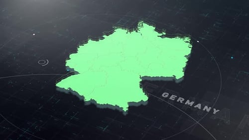
Animated Germany Map with Digital Grid Interface
By EnesMOne great value subscription from $16.50/month
- Unlimited downloads of 27+ million creative assets
- AI Tools: video, image and more
- Lifetime commercial license
- Easy cancellation
- Length
- 0:15
- Resolution
- 3840 x 2160
- File Size
- 184 MB
- Frame Rate
- 30 fps
- Alpha Channel
- No
- Looped
- No
- Video Encoding
- H.264
- Orientation
- Horizontal
- Commercial License
- Further Information
Description
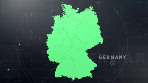
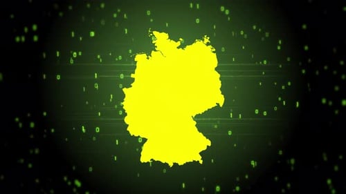
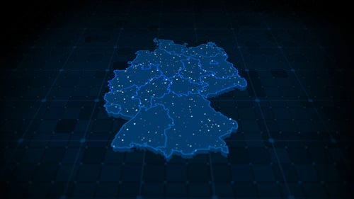
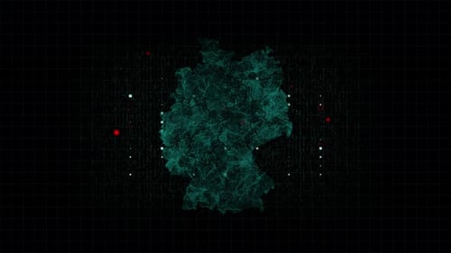
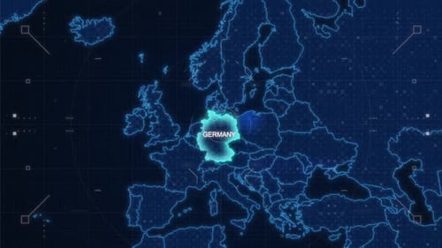
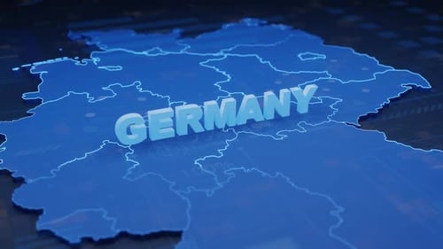
This animated clip presents a dynamic 3D relief map of Germany, colored in a vibrant green, set against a dark, high-tech grid background. The map's internal state or regional borders are subtly revealed, emerging from the solid form as the camera gently orbits around it. Accompanying this visual are glowing white dots and lines that animate across the digital grid, simulating data flow and technological connectivity. The word "GERMANY" rotates gracefully around the map, clearly identifying the featured country. This sophisticated animation provides a clean, modern, and futuristic visual for projects demanding geographical data visualization, corporate reports, or educational content focused on Germany's regional divisions within a broader European context.