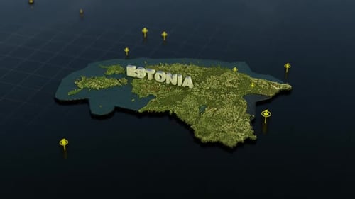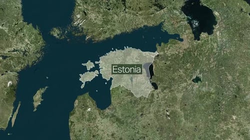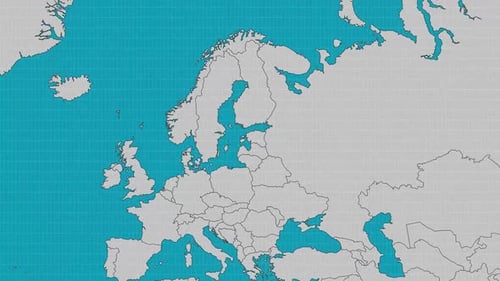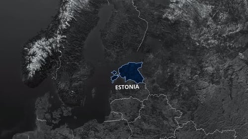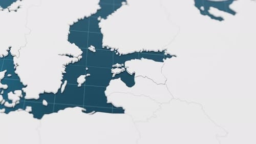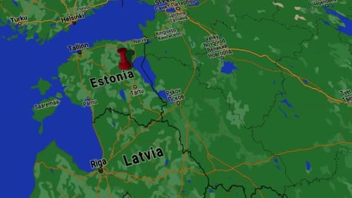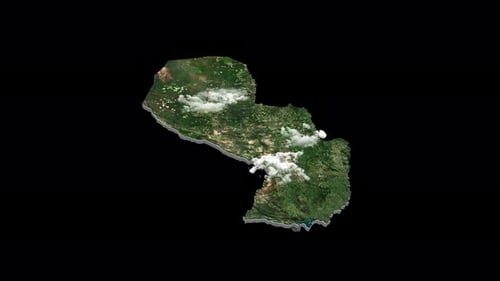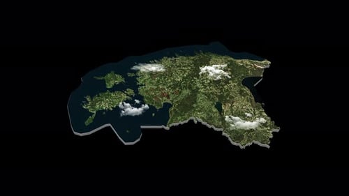
Animated 3D Satellite Map of Estonia Rotating Loop
By RevLine3DOne great value subscription from $16.50/month
- Unlimited downloads of 27+ million creative assets
- AI Tools: video, image and more
- Lifetime commercial license
- Easy cancellation
Already have an account? Sign in
Attributes
- Length
- 0:10
- Resolution
- 3840 x 2160
- File Size
- 1.09 GB
- Frame Rate
- 29.97 fps
- Alpha Channel
- Yes
- Looped
- No
- Video Encoding
- ProRes
- Orientation
- Horizontal
- Commercial License
- Further Information
Description
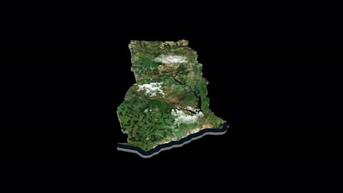
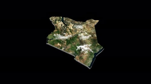
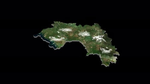
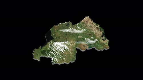
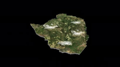
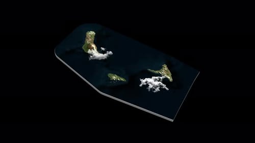
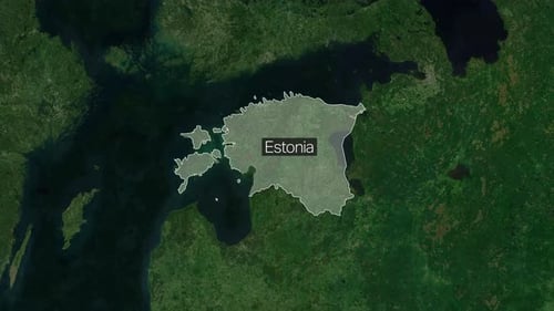
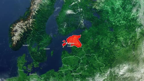
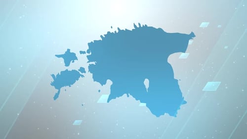
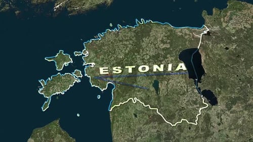
This animation presents a realistic 3D model of Estonia, textured with detailed satellite imagery showcasing its green landscapes, coastal waters, and scattered cloud formations. The map rotates smoothly and continuously on a transparent alpha channel, offering a dynamic and informative visual. This clean, modern graphic is perfect for educational content, travel documentaries, geographical presentations, or any project requiring an engaging representation of global locations or specific country territories.