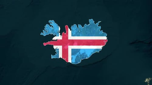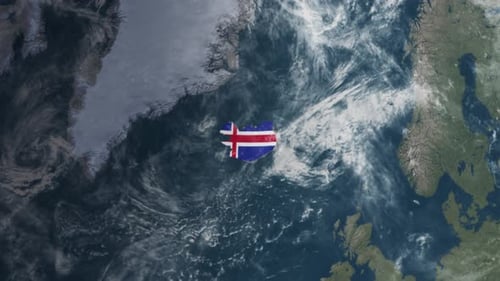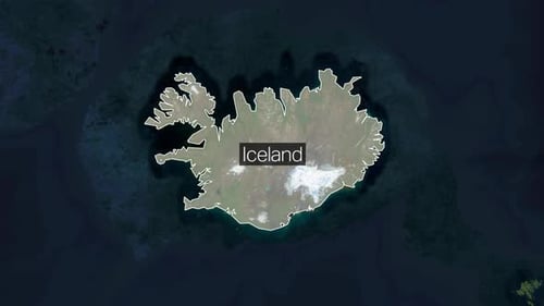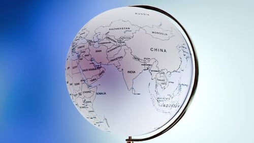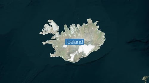
World Map Satellite Zoom and Iceland Country Outline Animation
By keleshOne great value subscription from $16.50/month
- Unlimited downloads of 27+ million creative assets
- AI Tools: video, image and more
- Lifetime commercial license
- Easy cancellation
Already have an account? Sign in
Attributes
- Length
- 0:10
- Resolution
- 3840 x 2160
- File Size
- 42.5 MB
- Frame Rate
- 25 fps
- Alpha Channel
- No
- Looped
- No
- Video Encoding
- H.264
- Orientation
- Horizontal
- Commercial License
- Further Information
Description
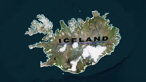
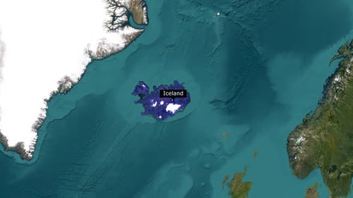
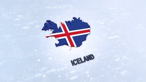
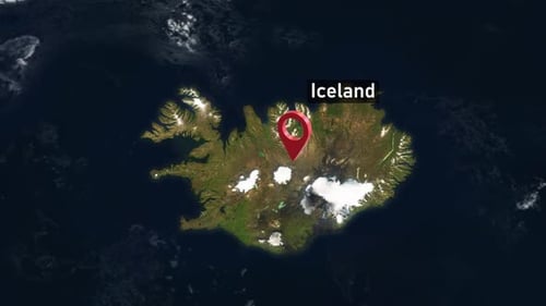
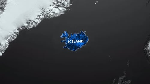
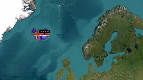
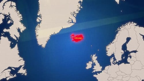
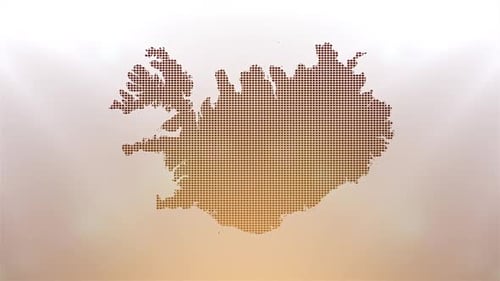
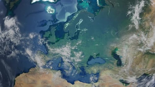
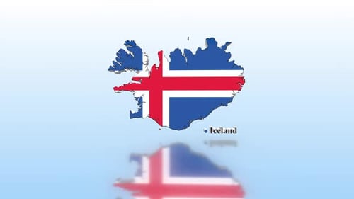
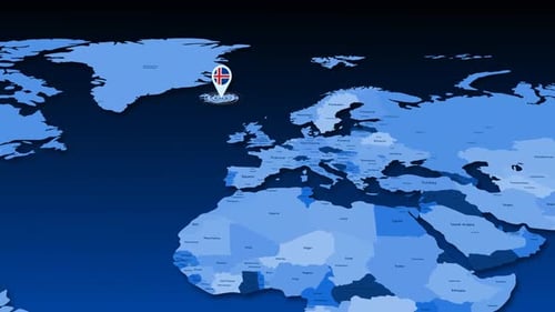
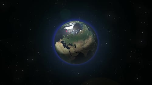
This animated clip begins with a sweeping satellite view of the entire globe, seamlessly transitioning to a close-up on the country of Iceland. As the camera zooms in, the detailed satellite imagery reveals Iceland's natural terrain, including its distinct coastlines and mountainous interior. A clean, animated outline then traces the borders of the country, accompanied by a precise text label identifying 'Iceland'. This visual effect is perfect for documentaries, news broadcasts, travel content, educational presentations, or any project requiring a dynamic and accurate geographic introduction to a specific global location.