Globe Zoom to Iceland Map Reveal
By RevLine3DOne great value subscription from $16.50/month
- Unlimited downloads of 27+ million creative assets
- AI Tools: video, image and more
- Lifetime commercial license
- Easy cancellation
- Length
- 0:10
- Resolution
- 1920 x 1080
- File Size
- 11.1 MB
- Frame Rate
- 25 fps
- Alpha Channel
- No
- Looped
- No
- Video Encoding
- H.264
- Orientation
- Horizontal
- Commercial License
- Further Information
Description
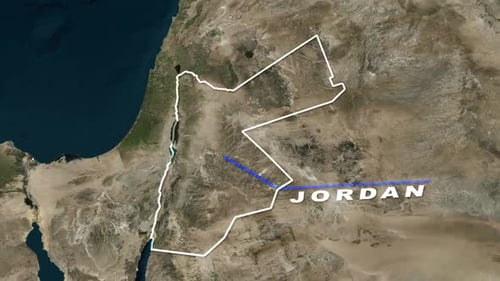
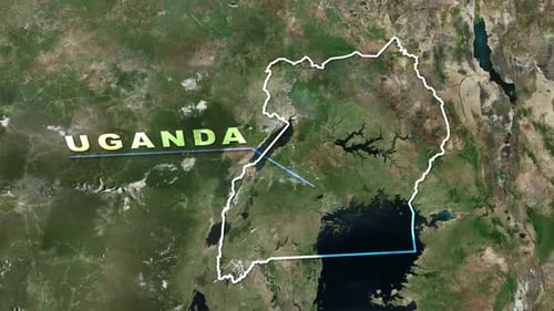
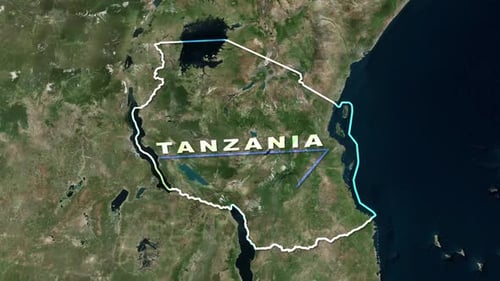
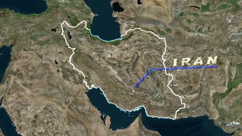
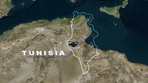
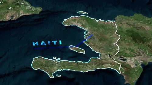
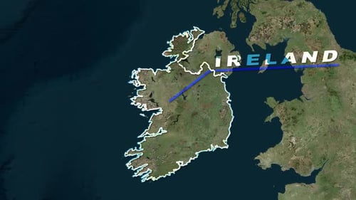
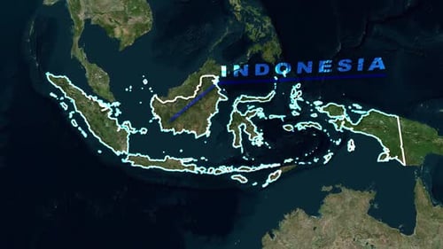
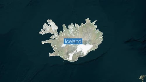
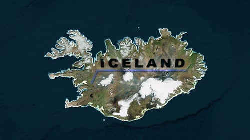
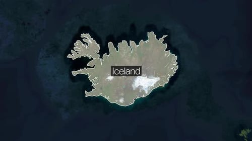
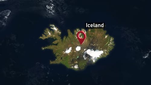
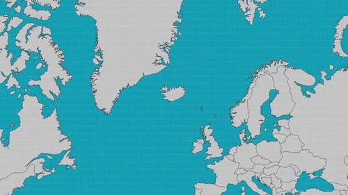
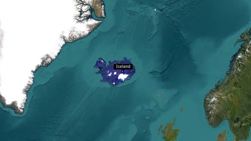
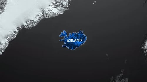
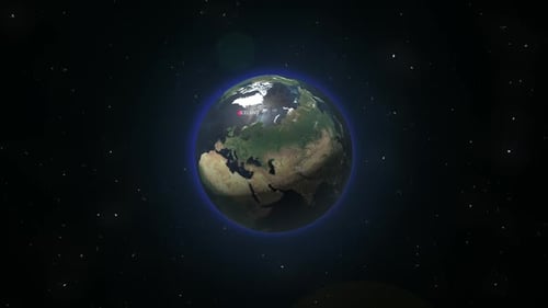
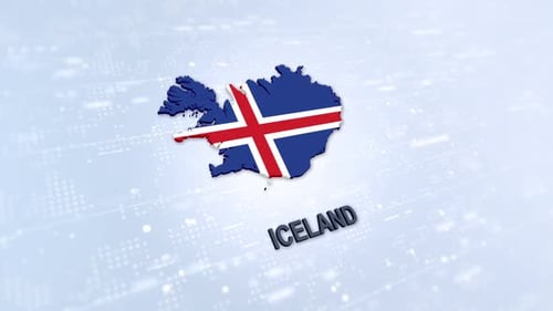
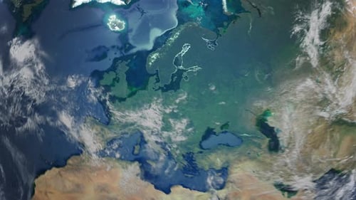
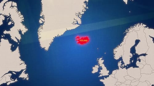
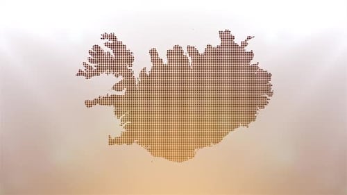
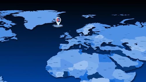
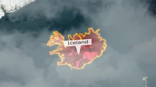
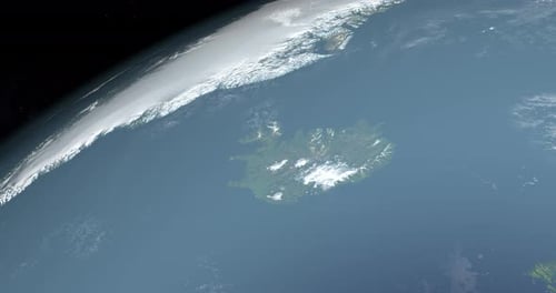
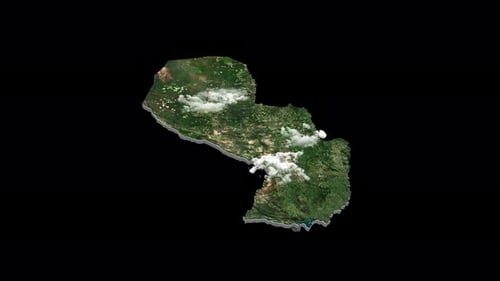
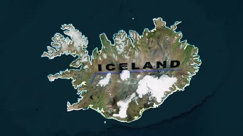
This animation begins with a captivating dynamic view of Earth from the vastness of space, offering a comprehensive global perspective before smoothly and purposefully zooming into a meticulously detailed satellite map of Iceland. The visual journey transitions seamlessly from the grandeur of the planet to the intricate topography of a specific nation. As the virtual camera approaches, a distinct, glowing blue outline meticulously traces the country's rugged and intricate coastline, effectively highlighting its unique geographical form and emphasizing its boundaries. Subsequently, the name 'ICELAND' animates into view with clean, modern typography, providing clear and immediate identification of the highlighted region. This polished and informative visual effect is perfectly suited for enhancing a wide range of content, including travel vlogs, educational segments on geography or environmental science, international news broadcasts, or any project that requires a precise and engaging introduction to a specific geographical location. It serves as an excellent, sophisticated tool for showcasing global destinations, supporting detailed environmental studies, or enriching international business and educational presentations with highly informative and visually appealing animation.