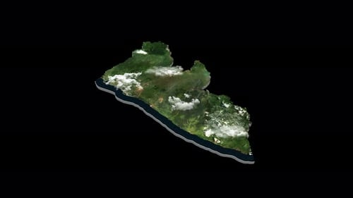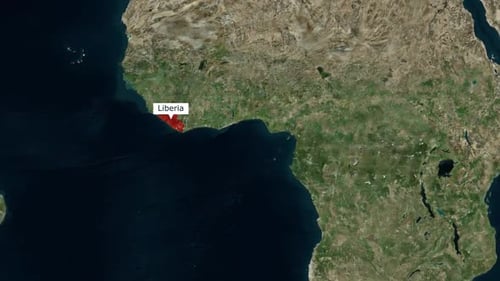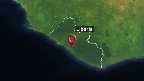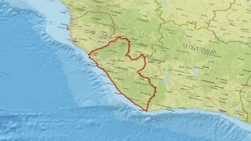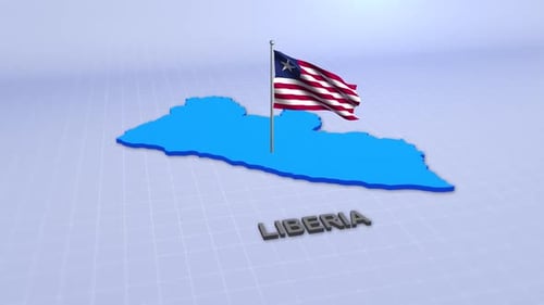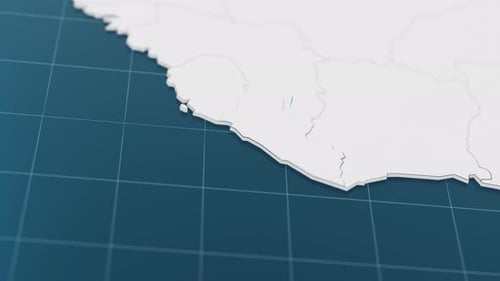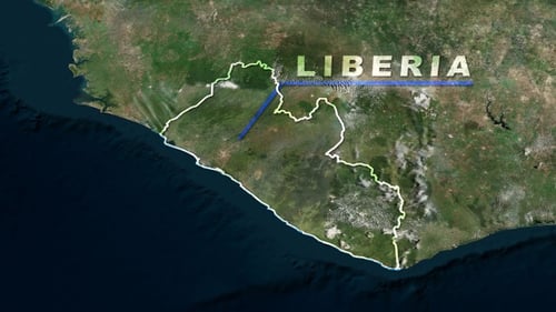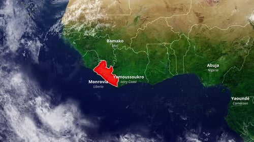
Animated Earth Map Zoom To Liberia With Geographical Details
By candy_animationOne great value subscription from $16.50/month
- Unlimited downloads of 27+ million creative assets
- AI Tools: video, image and more
- Lifetime commercial license
- Easy cancellation
Already have an account? Sign in
Attributes
- Length
- 0:22
- Resolution
- 3840 x 2160
- File Size
- 111 MB
- Frame Rate
- 30 fps
- Alpha Channel
- No
- Looped
- No
- Video Encoding
- H.264
- Orientation
- Horizontal
- Commercial License
- Further Information
Description
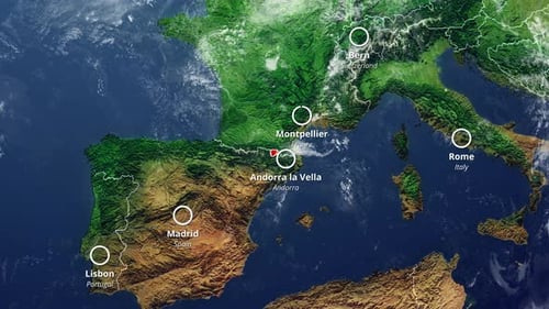
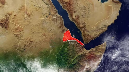
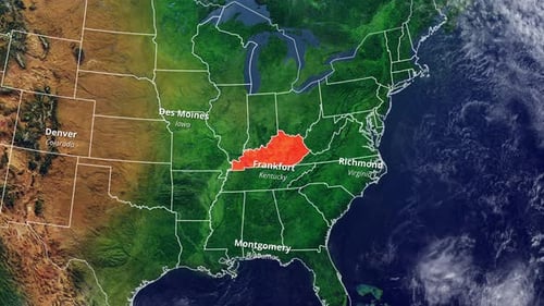
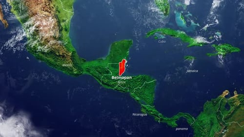
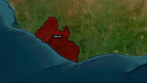
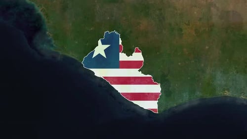
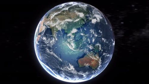
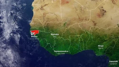
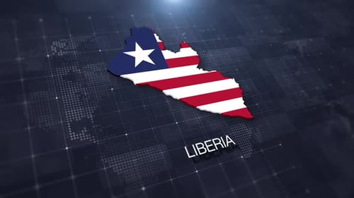
This animated visual offers a detailed zoom into the West African region, showcasing a realistic satellite view of the Earth. The animation precisely highlights the country of Liberia in vibrant red, drawing immediate attention to its borders. Subsequently, key geographical information such as major cities and neighboring countries like Monrovia, Yamoussoukro, Bamako, Abuja, and Yaounde are clearly displayed. This clean and informative graphic is ideal for news broadcasts, educational content, travel documentaries, or any project requiring precise geographical context and location identification in a modern and engaging format. It effectively conveys location details with a professional aesthetic.