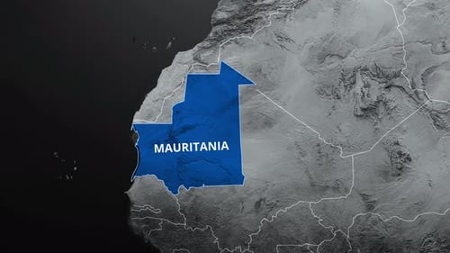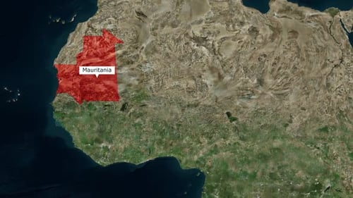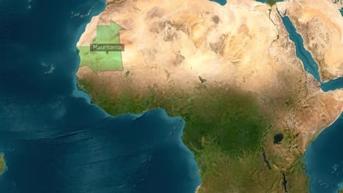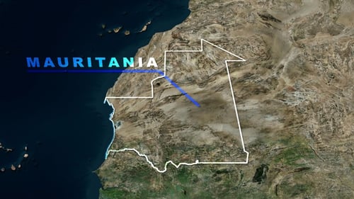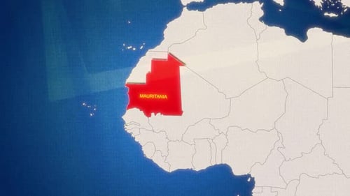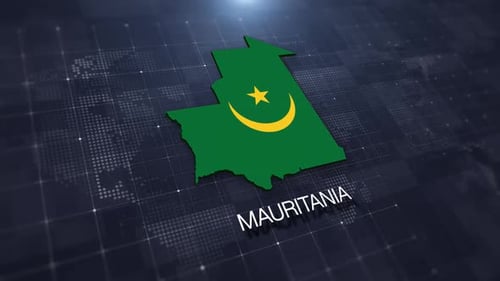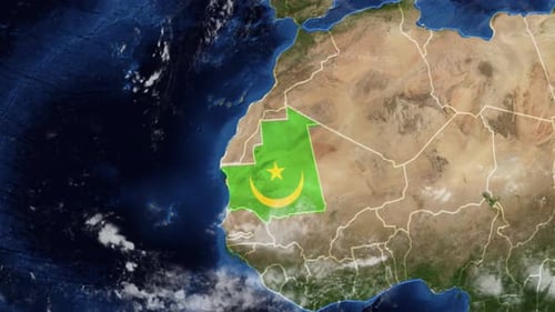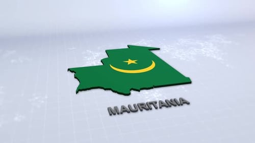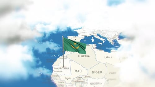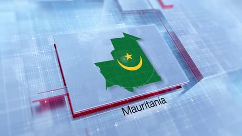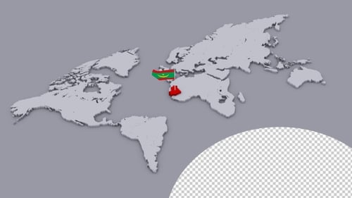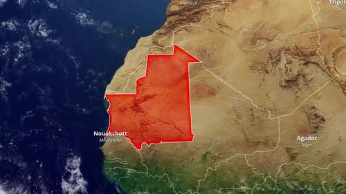
Mauritania Map Highlight and Label on Satellite Earth
By candy_animationOne great value subscription from $16.50/month
- Unlimited downloads of 27+ million creative assets
- AI Tools: video, image and more
- Lifetime commercial license
- Easy cancellation
- Length
- 0:24
- Resolution
- 3840 x 2160
- File Size
- 129 MB
- Frame Rate
- 30 fps
- Alpha Channel
- No
- Looped
- No
- Video Encoding
- H.264
- Orientation
- Horizontal
- Commercial License
- Further Information
Description
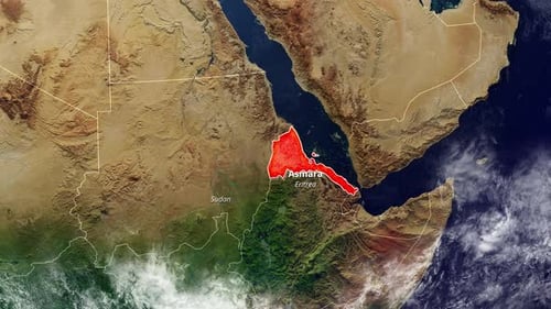
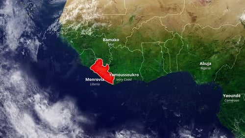
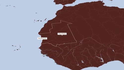
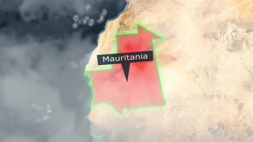
This animated clip presents a detailed geographical overview, starting with a satellite view of Africa. The camera smoothly zooms into Mauritania, its national borders highlighted dynamically in red. As the country is brought into focus, its name, 'Mauritania,' and capital city, 'Nouakchott,' appear clearly labeled. Adjacent countries like Morocco, Libya, Niger, and Mali are also identified, providing broader regional context. This visual asset is ideal for educational content, travel documentaries, news reports, or any project requiring precise and engaging geographical information. The clear outlines and text ensure readability and accurate data presentation, making it a valuable tool for showcasing specific locations on a global map.