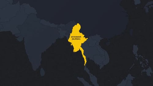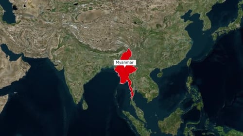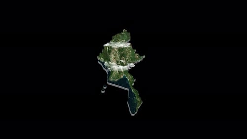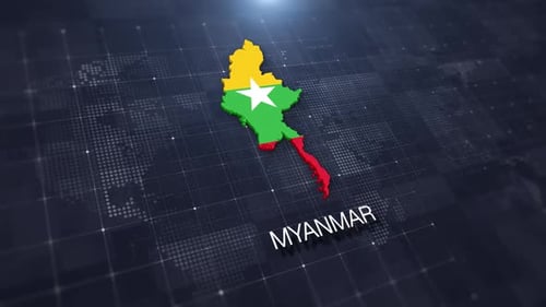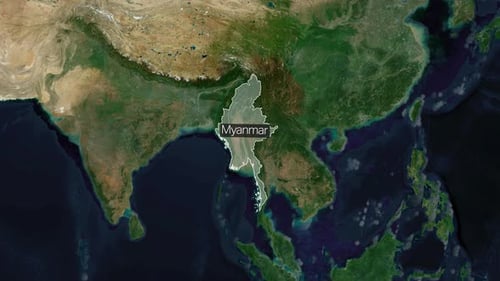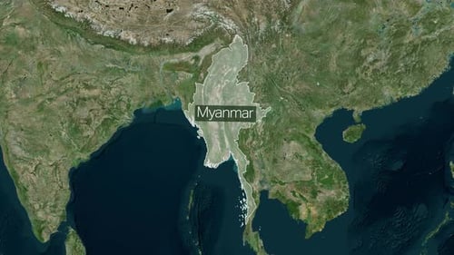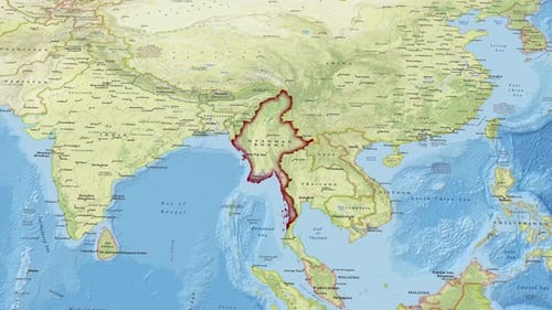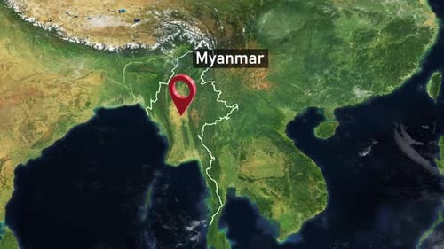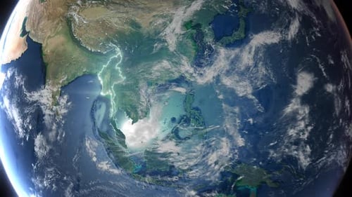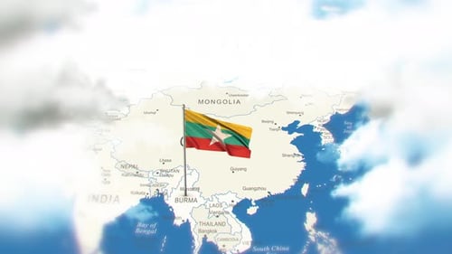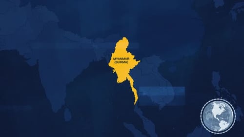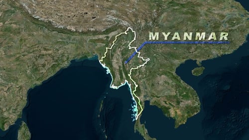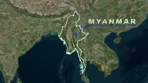
Animated Earth Zoom to Myanmar Map with Highlighted Borders
By RevLine3DOne great value subscription from $16.50/month
- Unlimited downloads of 27+ million creative assets
- AI Tools: video, image and more
- Lifetime commercial license
- Easy cancellation
Already have an account? Sign in
Attributes
- Length
- 0:10
- Resolution
- 1920 x 1080
- File Size
- 12.4 MB
- Frame Rate
- 25 fps
- Alpha Channel
- No
- Looped
- No
- Video Encoding
- H.264
- Orientation
- Horizontal
- Commercial License
- Further Information
Description
This animated clip begins with a dynamic 3D zoom from a detailed view of Earth, transitioning smoothly into a satellite map of Southeast Asia. The visual effect then precisely highlights the country of Myanmar with a glowing, animated outline that traces its national borders. Simultaneously, the name 'MYANMAR' appears with an elegant underlining animation, followed by subtle glowing dots that animate along the country's coastlines. This clean and informative visual effect is ideal for geographical presentations, travel documentaries, educational content, or news segments requiring a polished way to introduce or focus on specific regions.