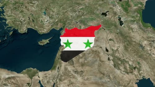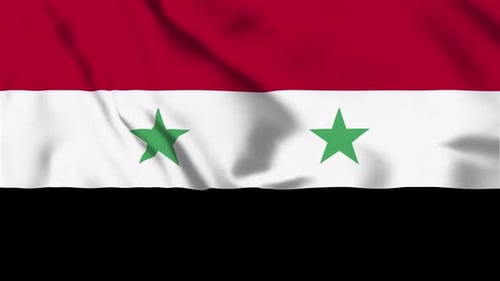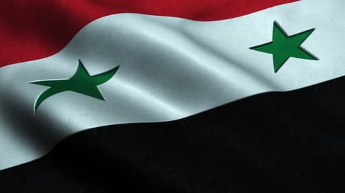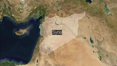
World Map Zoom to Syria Flag Reveal
By keleshOne great value subscription from $16.50/month
- Unlimited downloads of 27+ million creative assets
- AI Tools: video, image and more
- Lifetime commercial license
- Easy cancellation
Already have an account? Sign in
Attributes
- Length
- 0:10
- Resolution
- 3840 x 2160
- File Size
- 65.3 MB
- Frame Rate
- 25 fps
- Alpha Channel
- No
- Looped
- No
- Video Encoding
- H.264
- Orientation
- Horizontal
- Commercial License
- Further Information
Description
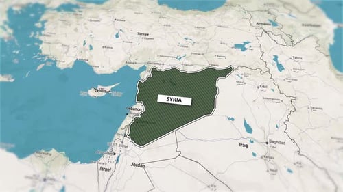
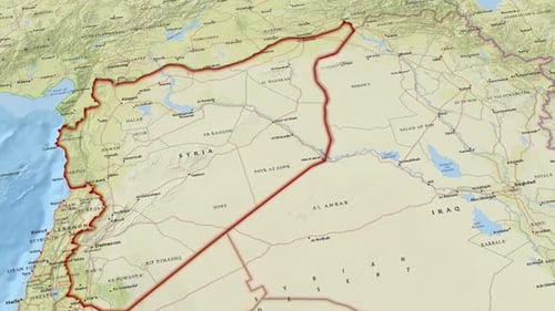
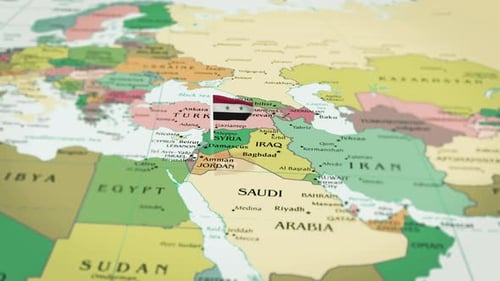
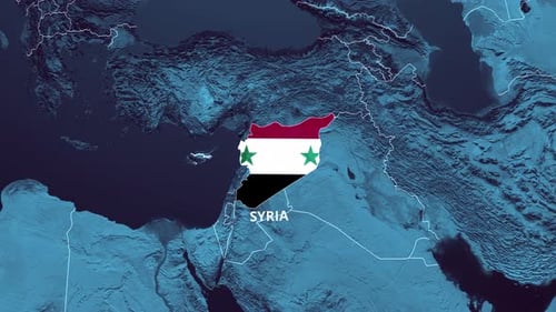
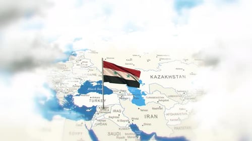
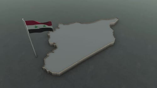
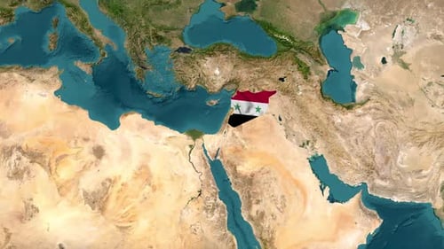
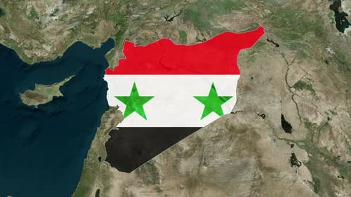
This animated clip presents a seamless transition from a global satellite map view, progressively zooming into the Middle East region. The focus sharpens on Syria, where its precise geographic outline emerges. Subsequently, the national flag of Syria smoothly fills the country's borders, providing a clear and identifiable representation. This visual effect is ideal for news broadcasts, educational content, documentaries, or any project requiring a dynamic geographic locator for international relations, travel, or political analyses.