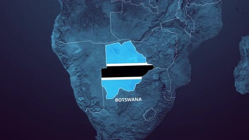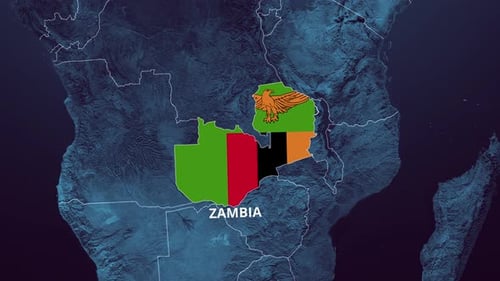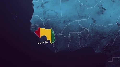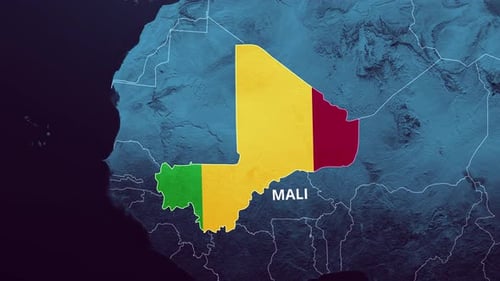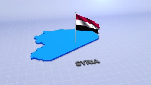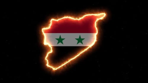
Animated Map of Syria with Flag and Country Name Reveal
By mimi_ragabOne great value subscription from $16.50/month
- Unlimited downloads of 27+ million creative assets
- AI Tools: video, image and more
- Lifetime commercial license
- Easy cancellation
Already have an account? Sign in
Attributes
- Length
- 0:15
- Resolution
- 3840 x 2160
- File Size
- 150 MB
- Frame Rate
- 30 fps
- Alpha Channel
- No
- Looped
- No
- Video Encoding
- H.264
- Orientation
- Horizontal
- Commercial License
- Further Information
Description
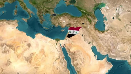
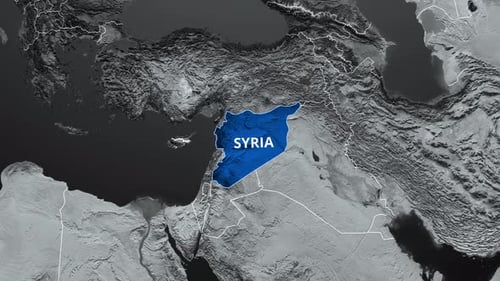
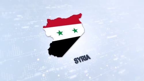
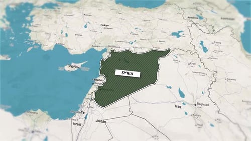
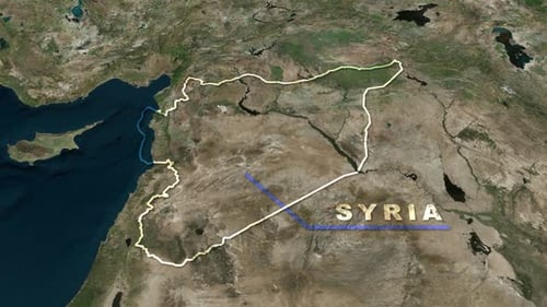
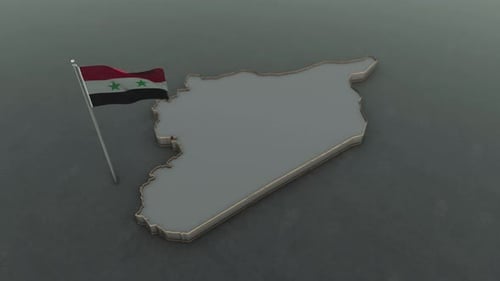
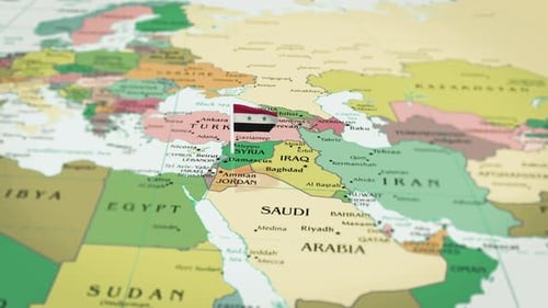
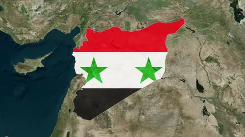
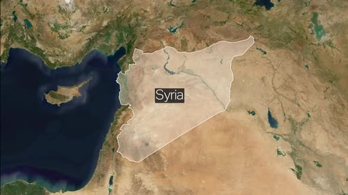
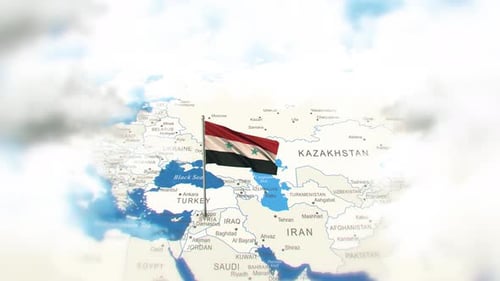
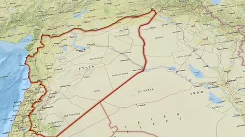
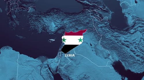
This animated visual displays a detailed 3D relief map of the Middle East, focusing on Syria. The motion graphic initiates with a smooth camera zoom, gradually isolating and highlighting the national borders of Syria. As the focus sharpens, the vibrant national flag of Syria seamlessly appears within its geographical outline, followed by the clear display of the country's name. This clean and modern animation is ideal for educational videos, news reports, documentary series, and corporate presentations requiring precise geographic information and national identity representation. It effectively introduces the region with a professional and engaging visual style.