3D Earth Zoom and Highlight United States State Map
By candy_animationOne great value subscription from $16.50/month
- Unlimited downloads of 27+ million creative assets
- AI Tools: video, image and more
- Lifetime commercial license
- Easy cancellation
Already have an account? Sign in
Attributes
- Length
- 0:22
- Resolution
- 3840 x 2160
- File Size
- 131 MB
- Frame Rate
- 30 fps
- Alpha Channel
- No
- Looped
- No
- Video Encoding
- H.264
- Orientation
- Horizontal
- Commercial License
- Further Information
Description
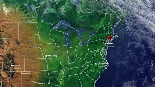
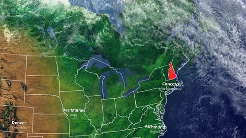
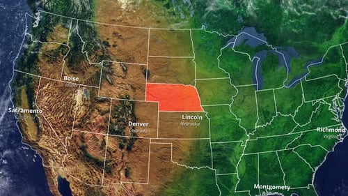
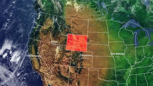
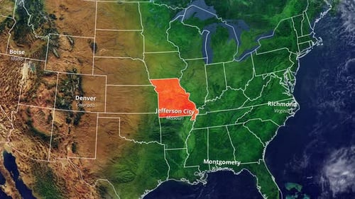
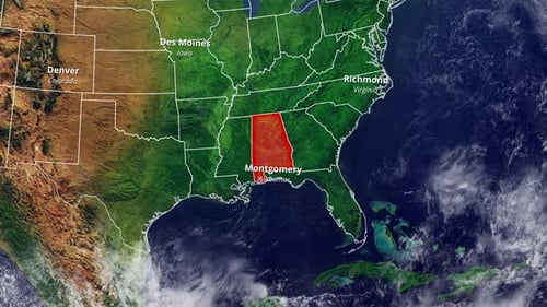
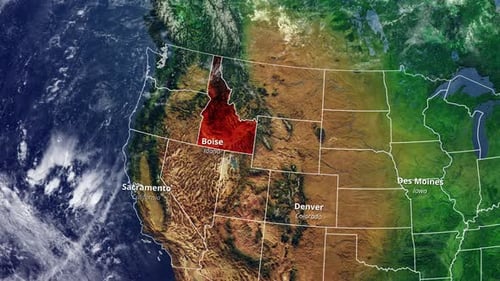
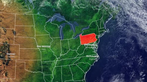
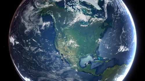
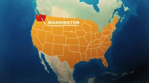
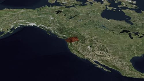
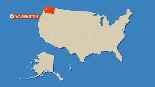
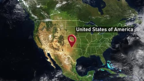
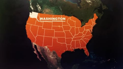
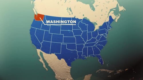
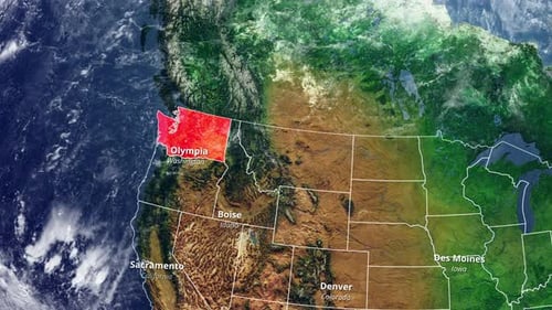
This animated clip presents a detailed 3D rendering of the Earth, gracefully rotating before zooming into the North American continent. The animation precisely highlights the state of Washington in a vivid red, overlaying its capital city, Olympia, and the state name for clear identification. As the zoom continues, outlines of neighboring states and their respective capitals like Boise, Denver, and Des Moines become visible, offering a comprehensive geographic overview. This visual effect is ideal for enhancing presentations, educational content, news segments, or any project requiring a dynamic and informative geographic locator.